


More of the same weather continues as we again feel warm, muggy air with morning lows in the low 70s.
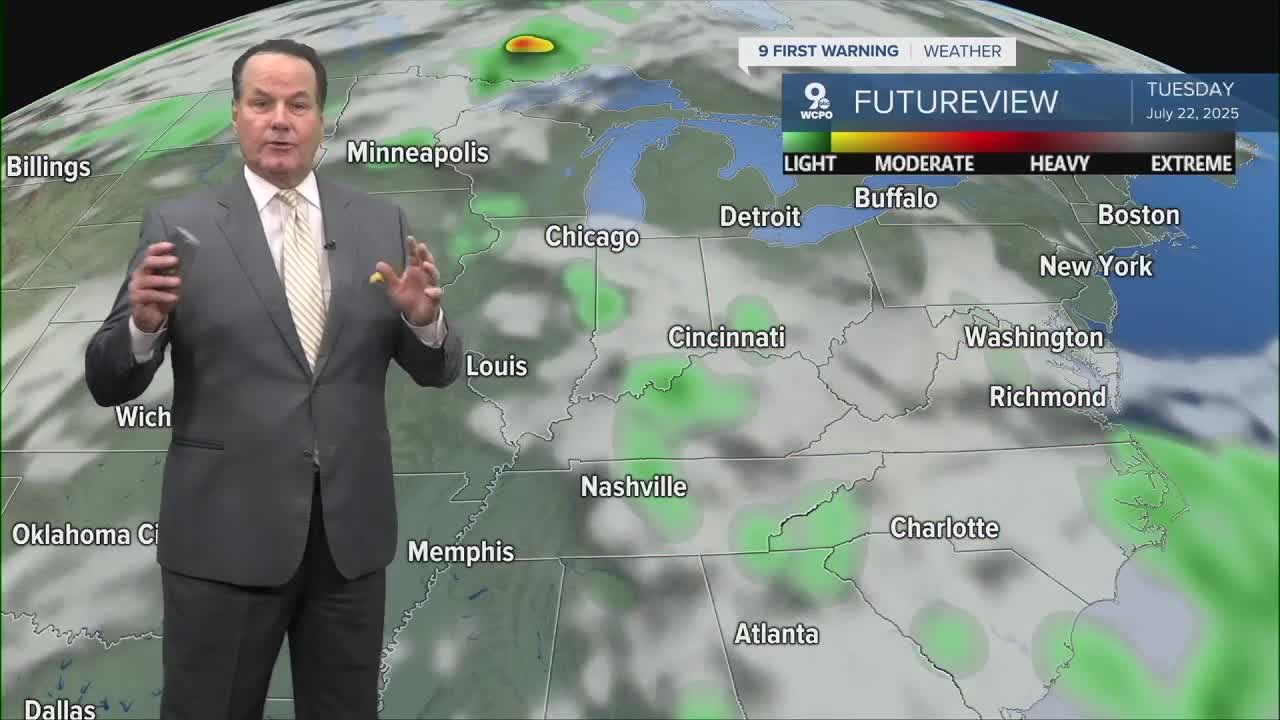
Thursday will start dry, but then we'll see scattered showers and storms return in the afternoon and evening hours. This time the weather will be more widespread as a front stalls over the Tri-State. This will trigger more storms across the area.
This same pattern will repeat again this weekend with another front stalling over us, producing downpours and storms off and on through Sunday. If that wasn't enough, the long-range weather models show the pattern persisting through July 27th!
OVERNIGHT
Mostly cloudy
Chance storms
Low: 73
THURSDAY
Partly cloudy, very muggy
Afternoon showers and storms
High: 88
THURSDAY NIGHT
Showers continue
Mostly cloudy
Low: 72
9 First Warning Weather 24/7 Livestream
==========
- Interactive Radar: Track weather to your doorstep
- Sign up for severe weather email alerts
- Check latest school closings and delays
- WCPO traffic updates
- Metro bus detours and updates (or call the hotline at 513-632-7538)
- Latest power outages from Duke Energy
- Flight cancellations and delays from CVG, other U.S. airports
