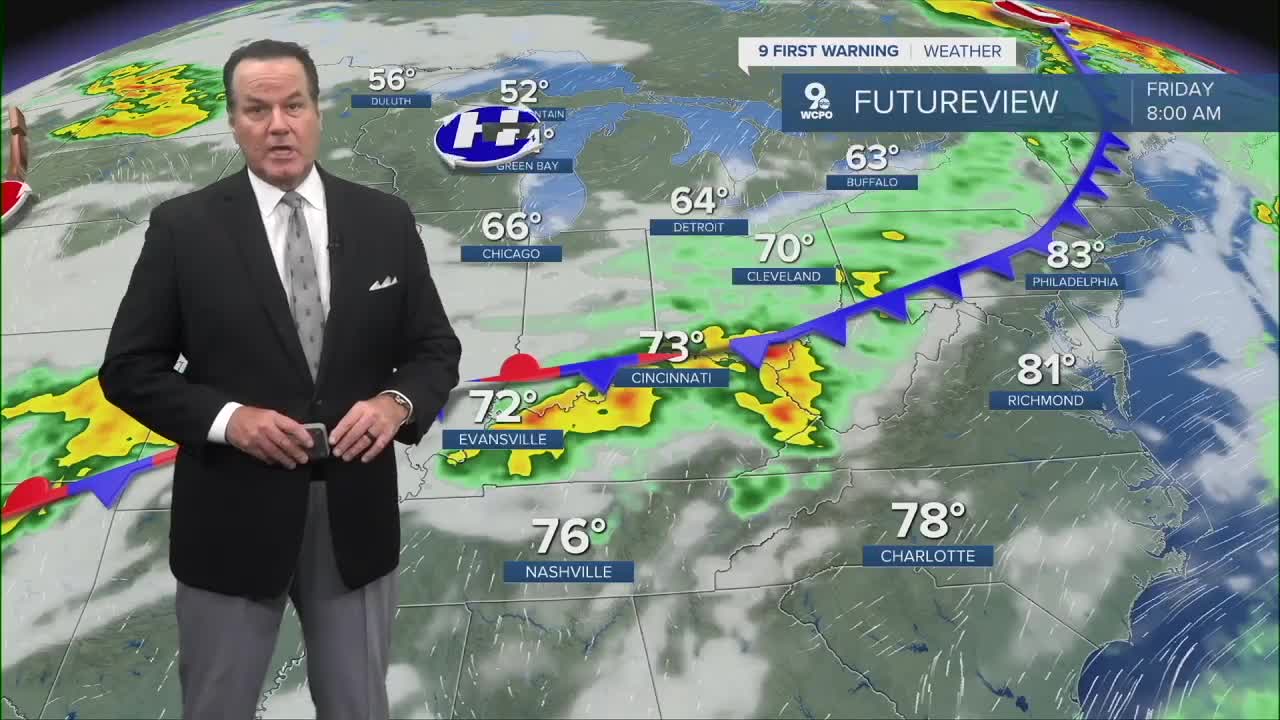
I only wish that i had better weather news! Unfortunately, this pattern of warm, muggy weather that produces afternoon storms will hang around all week. It does appear a weather system landing here on Thursday will give us our best widespread chance for the wet weather.

In the meantime, the "air you can wear" continues tonight into Tuesday. The humidity build up will trigger isolated storms during the afternoon in the next couple of days. Highs will climb to the mid to upper 80s on Tuesday and Wednesday. Plus with the humidity it will feel like 90-95 degrees.
TONIGHT
Partly cloudy
Very muggy
Low: 70
TUESDAY
Partly cloudy, humid
Scattered afternoon storms
High: 88
TUESDAY NIGHT
Fair
Still muggy
Low: 72
9 First Warning Weather 24/7 Livestream
==========
- Interactive Radar: Track weather to your doorstep
- Sign up for severe weather email alerts
- Check latest school closings and delays
- WCPO traffic updates
- Metro bus detours and updates (or call the hotline at 513-632-7538)
- Latest power outages from Duke Energy
- Flight cancellations and delays from CVG, other U.S. airports


