


We could see a quick shower overnight but overall we will be partly cloudy and dropping down to around 70.
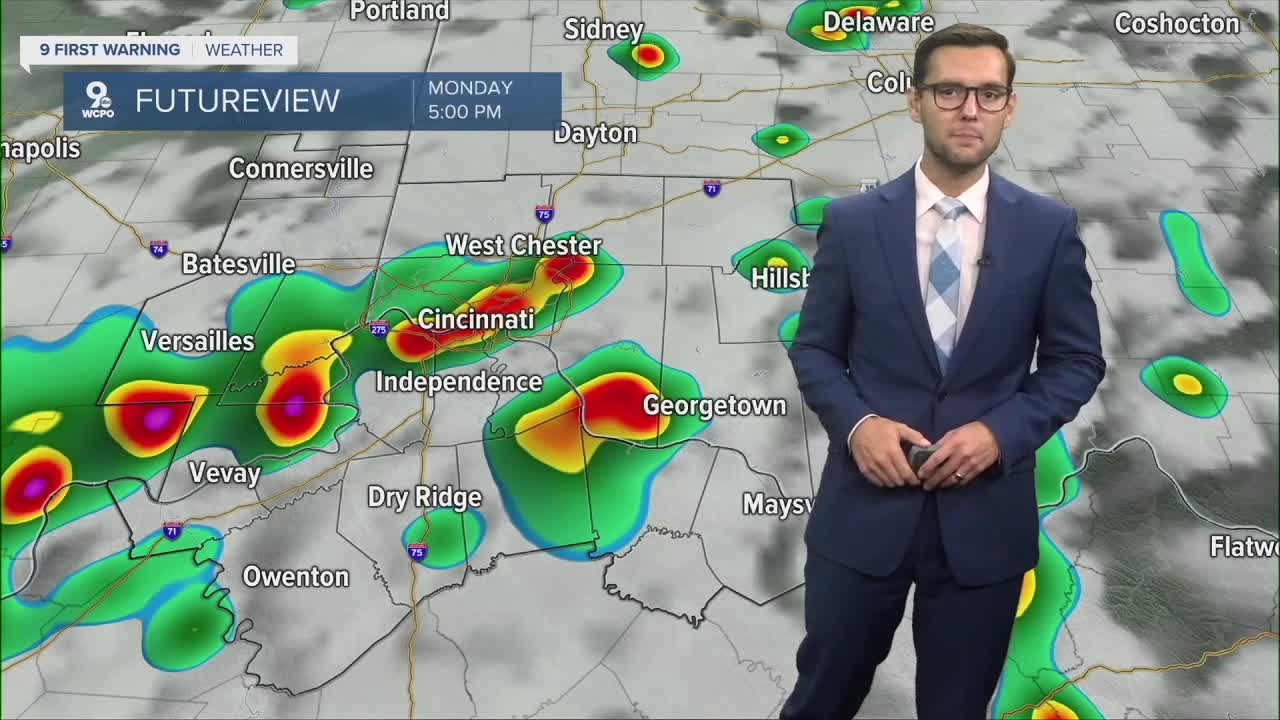
Looking ahead to tomorrow, rain and storm chances go up as a cold front moves in. Right now we are not expecting anything severe, but a few stronger storms cannot be ruled out.
Then it is rinse and repeat for a lot of the week with PM rain and storm chances and temps in the upper 80s.
SUNDAY NIGHT
Partly Cloudy
Very mild
Low: 71
MONDAY
Quick warm up
Afternoon storms
High: 90
9 First Warning Weather 24/7 Livestream
==========
- Interactive Radar: Track weather to your doorstep
- Sign up for severe weather email alerts
- Check latest school closings and delays
- WCPO traffic updates
- Metro bus detours and updates (or call the hotline at 513-632-7538)
- Latest power outages from Duke Energy
- Flight cancellations and delays from CVG, other U.S. airports
