


Fog will continue to become more widespread and thicken up into Monday morning. This will drop the visibility to under a quarter of a mile at times, slowing travel. Make sure you have your low beam headlights on if you have to travel. It will also be a little colder, with most of the Tri-State waking up to temperatures in the mid 30s.
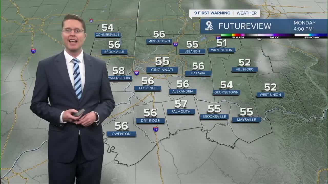
If you have outdoor plans for Presidents' Day, the weather is looking good! Once the fog clears late in the morning, we'll see a mix of sun and clouds. Highs will be in the mid 50s, a good 10 above average.

The warm-up continues Tuesday with highs near 60 and more clouds.
Wednesday will be breezy with mid 60s, but as a weak cold front arrives, some of us will get hit by some hit and miss rain midday.

The cold front only drops us into the low 60s Thursday, keeping temperatures above average. Another system brings a better chance for rain late Thursday into Friday morning.
We cool off a little more for Friday afternoon with mid 50s.
Temperatures continue to fall for the weekend, putting us back to average for the middle of February. Saturday will be in the mid 40s for the home return of FC Cincinnati. Sunday will be in the low 40s. Both days could bring a few raindrops or snowflakes.
We drop a touch below average next Monday with upper 30s.
OVERNIGHT
Mostly cloudy
Thick fog
Low: 35
MONDAY
Partly cloudy
Warmer
High: 55
MONDAY NIGHT
Partly cloudy
Chilly
Low: 37
TUESDAY
Mostly cloudy
Warmer
High: 60
9 First Warning Weather 24/7 Livestream
==========
- Interactive Radar: Track weather to your doorstep
- Sign up for severe weather email alerts
- Check latest school closings and delays
- WCPO traffic updates
- Metro bus detours and updates (or call the hotline at 513-632-7538)
- Latest power outages from Duke Energy
- Flight cancellations and delays from CVG, other U.S. airports
