


Sunday was a little warmer with upper 30s, but the warm-up really gets going early in the workweek.
Overnight, we drop into the upper 20s, making for a chilly morning commute. In the afternoon, the combination of sunshine and winds out of the southwest will have us flirting with 50 degrees.
Tuesday will be mostly cloudy, but we climb into the mid 50s, putting Cincinnati about 15 degrees above average. Late in the day, a weak cold front will trigger a few spotty and light showers in the Tri-State, but the rain won't be for everyone.
We get to enjoy a little more sunshine Wednesday afternoon with highs in the mid 50s again.
The two warmest days of the week could be the two wettest days of the week as an area of low pressure arrives from the southwest.
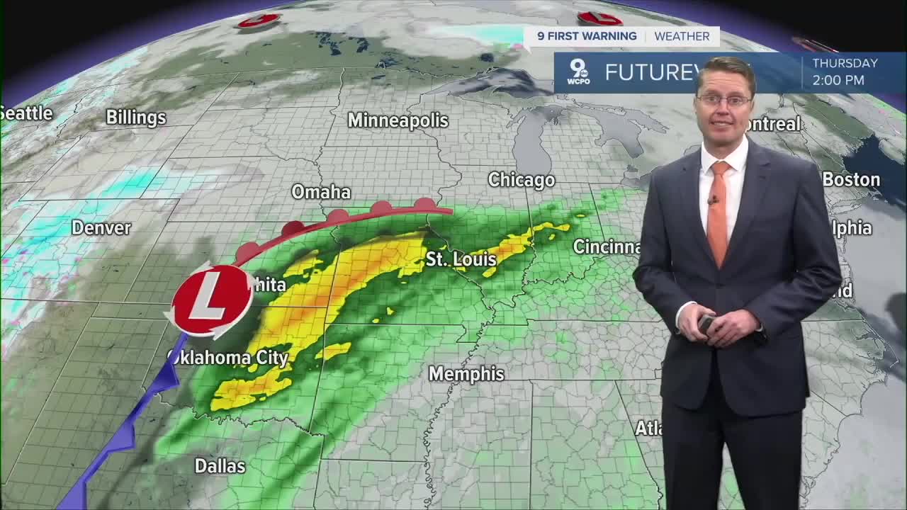
Thursday likely starts dry, but in the second half of the day, the rain will start to move into the Tri-State. Highs will be in the upper 50s.
Right now, the wetter of the two days looks like Friday with waves of rain moving through the region. Although wet, we could make it to 60 degrees.

Cooler air starts to move back in next weekend. Saturday could start with a few leftover pockets of light rain, but the afternoon looks dry. Highs will be in the upper 40s. Then, we drop into the upper 30s for Sunday with a little more sunshine.
Highs will be close to average with low 40s early next week.
OVERNIGHT
Partly cloudy
Cold
Low: 28
MONDAY
Mostly sunny
Warmer
High: 49
MONDAY NIGHT
Partly cloudy
Not as cold
Low: 38
TUESDAY
Mostly cloudy
Spotty light rain
High: 55
WEDNESDAY
Partly cloudy
Above average
High: 55
9 First Warning Weather 24/7 Livestream
==========
- Interactive Radar: Track weather to your doorstep
- Sign up for severe weather email alerts
- Check latest school closings and delays
- WCPO traffic updates
- Metro bus detours and updates (or call the hotline at 513-632-7538)
- Latest power outages from Duke Energy
- Flight cancellations and delays from CVG, other U.S. airports
