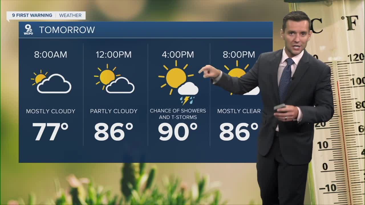


Our area will once again be under a Heat Advisory for Monday. Highs hit 90 and chances for showers and storms are possible again.
The heat continues to build Monday-Wednesday, with Tuesday likely being the hottest day of the week before a cool-down arrives.
Tuesday could have a feel like temp reach nearly 110°!
A cold front will bring scattered storms Wednesday through Thursday, followed by a pleasant change by the end of the week with lower temperatures and humidity.
TONIGHT
Partly cloudy
Patchy fog
Low: 75
MONDAY
Partly cloudy
Slight chance
High: 92
MONDAY NIGHT
Mostly clear
Patchy fog
Low: 76
9 First Warning Weather 24/7 Livestream
==========
- Interactive Radar: Track weather to your doorstep
- Sign up for severe weather email alerts
- Check latest school closings and delays
- WCPO traffic updates
- Metro bus detours and updates (or call the hotline at 513-632-7538)
- Latest power outages from Duke Energy
- Flight cancellations and delays from CVG, other U.S. airports
