


A HEAT ADVISORY is in effect through Wednesday evening.
Heat index values will range from 100 to 105 degrees.

WCPO
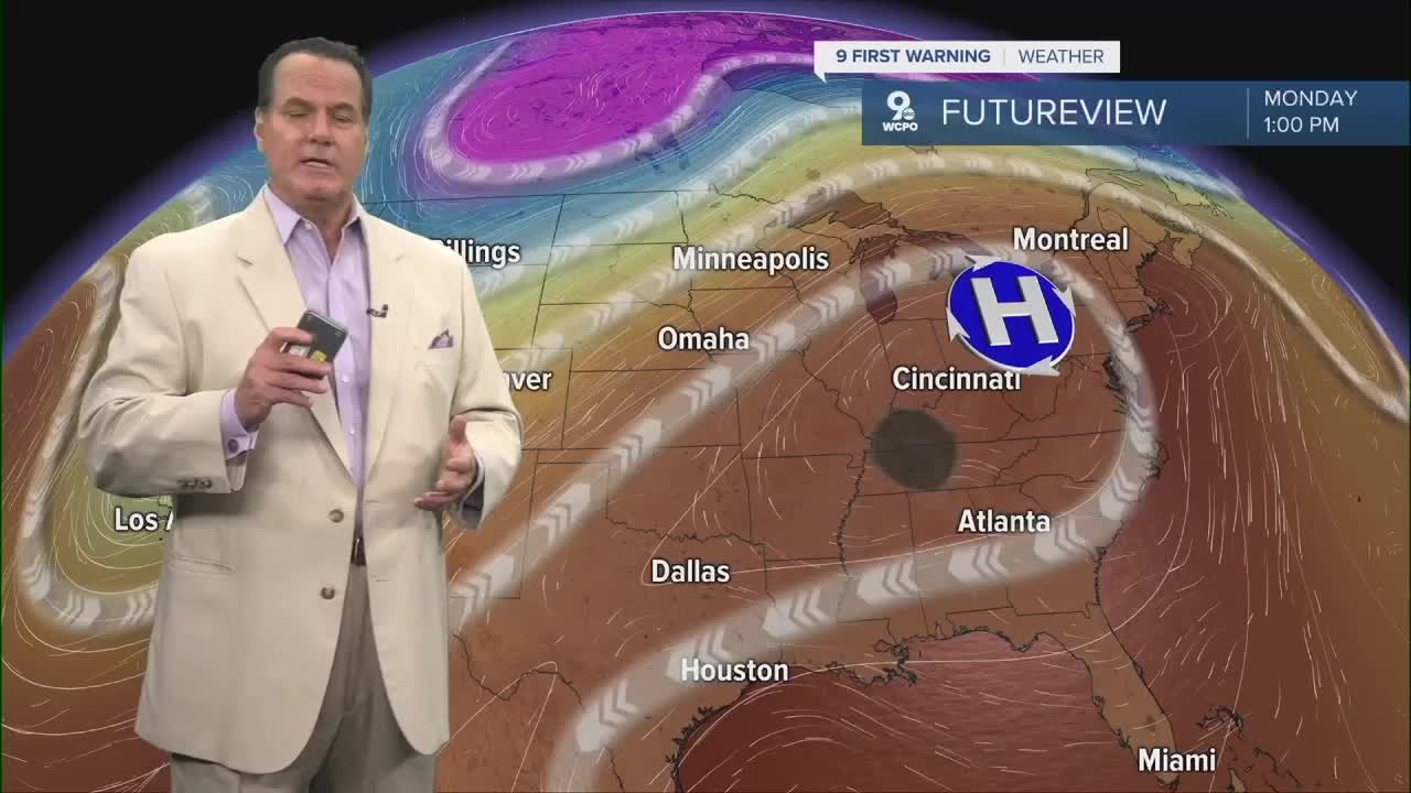
While there's a chance for pop-up showers or storms, it won't bring any relief. Heat and humidity continue to build, which will eventually lead to chances for pop-up storms.
About a 20 percent chance of isolated storms are possible on Tuesday afternoon, it's more likely on Wednesday. This chance for storms increases with a disturbance in the atmosphere on Thursday and Friday. The first significant chance for rain and storms comes on Saturday
OVERNIGHT
Mostly clear
Warm
Low: 74
TUESDAY
Mostly Sunny
Hot and humid
High: 94
TUESDAY NIGHT
Mostly clear
Dry
Low: 74
9 First Warning Weather 24/7 Livestream
==========
- Interactive Radar: Track weather to your doorstep
- Sign up for severe weather email alerts
- Check latest school closings and delays
- WCPO traffic updates
- Metro bus detours and updates (or call the hotline at 513-632-7538)
- Latest power outages from Duke Energy
- Flight cancellations and delays from CVG, other U.S. airports
