


The Tri-State is under a heat advisory starting today, and this will continue through Wednesday evening. Heat index values between 100 and 105 are expected each of these days.
When it comes to rain, there isn't much to speak of for a few more days. High pressure is in control of our weather, keeping the forecast dry for now. But as heat and humidity build, we will eventually end up with pop-up shower and storm chances in the peak heat of the afternoon. This should start happening on Wednesday and continue into the coming weekend.
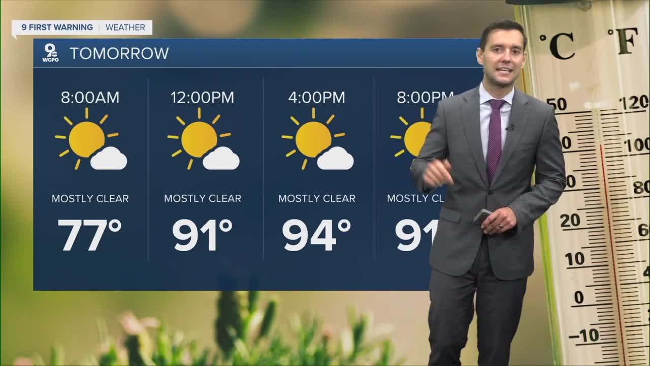
Actual temperatures start at 78 this morning and warm to 93 this afternoon. With rising humidity, it will feel closer to 102 this afternoon. Winds are coming in from the southwest at 5 to 10 mph.
Monday will be a repeat of the forecast but with a high of 94 degrees.
SUNDAY
Mostly sunny
Hot and humid
High: 93
SUNDAY NIGHT
Staying warm
Humid
Low: 74
MONDAY
Mostly sunny
Hot and humid
High: 94
MONDAY NIGHT
Warm
Mostly clear
Low: 74
9 First Warning Weather 24/7 Livestream
==========
- Interactive Radar: Track weather to your doorstep
- Sign up for severe weather email alerts
- Check latest school closings and delays
- WCPO traffic updates
- Metro bus detours and updates (or call the hotline at 513-632-7538)
- Latest power outages from Duke Energy
- Flight cancellations and delays from CVG, other U.S. airports
