

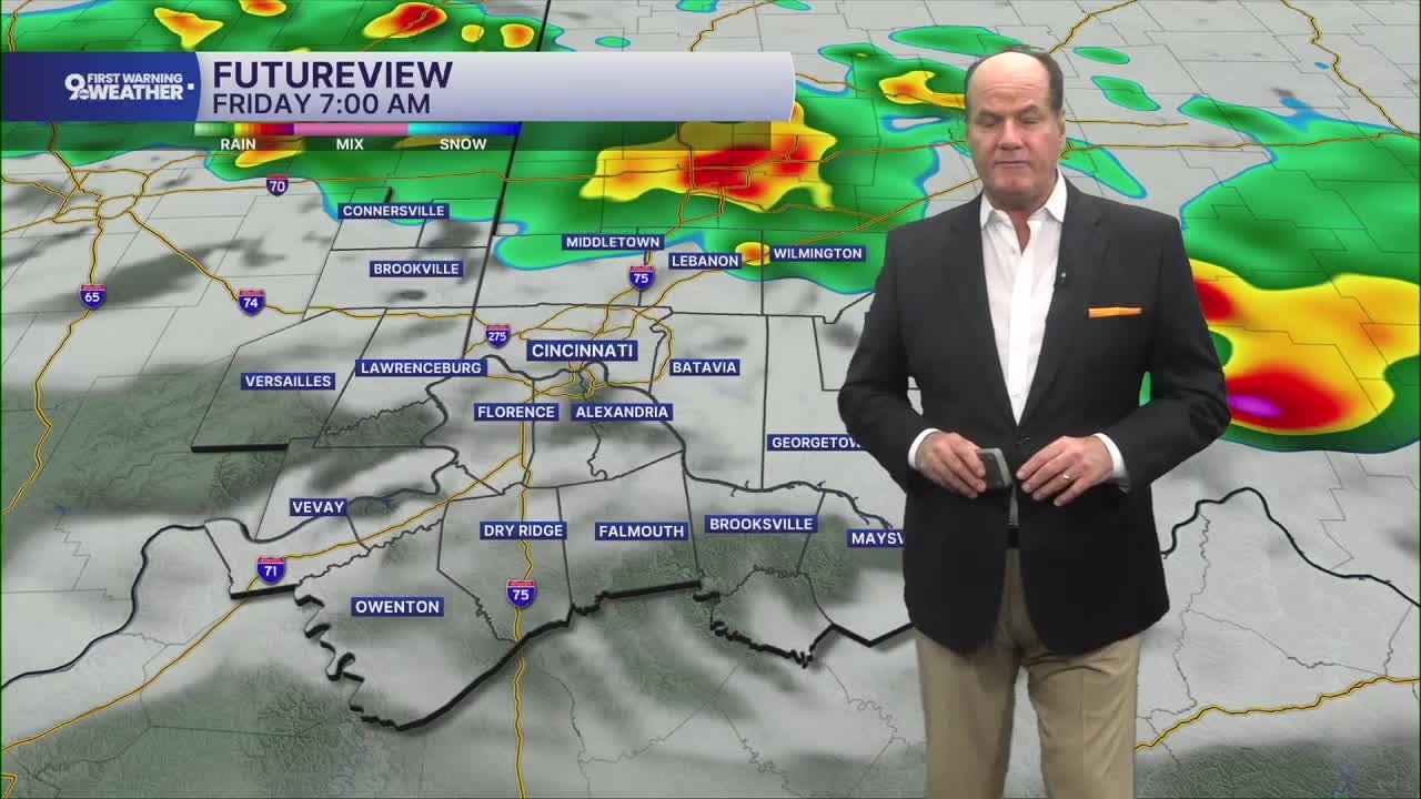


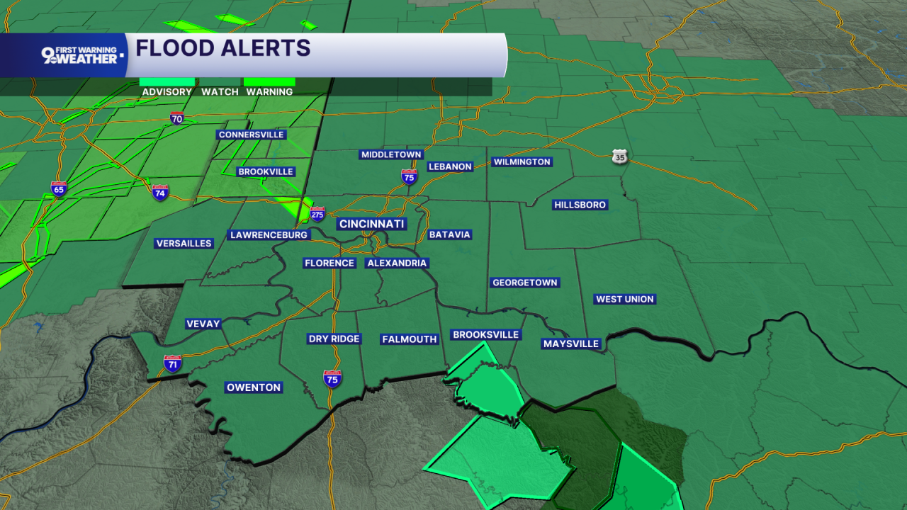
Due to the threat of flooding, a 9 FIRST WARNING WEATHER ALERT DAY begins now and continues through Friday. A FLOOD WATCH is out for the entire Tri-State through Friday morning, and flood warnings continue for portions of mainly Southeast Indiana.
For the Tri-State, more rounds of showers and thunderstorms, with the wet weather becoming more numerous as the overnight goes on. Some storms could produce much higher rainfall amounts, and because parts of the area have already been hit hard by flooding, renewed heavy rain could create additional problems. Rainfall tonight and over Friday may reach up to 4 inches, with locally higher amounts in localized spots.
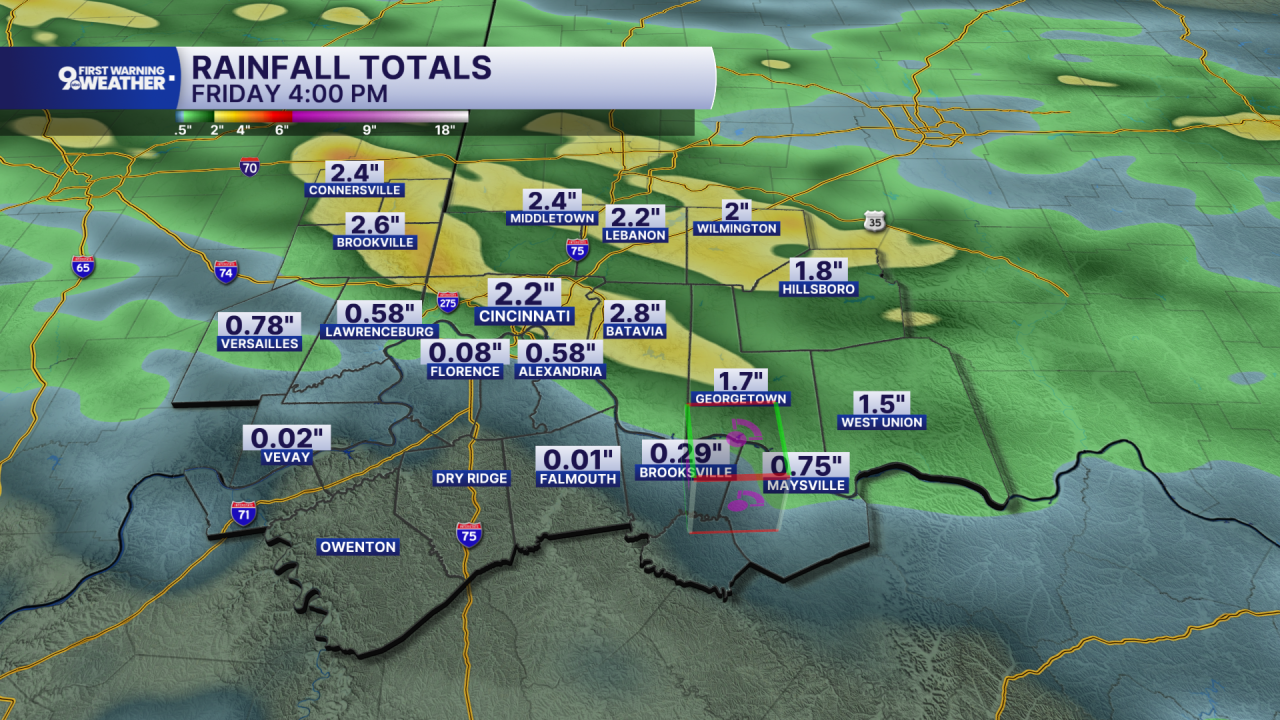
Friday stays unsettled, with showers and thunderstorms mainly before 3 PM. Temperatures climb into the mid to upper 80s, with a south breeze developing during the afternoon. Friday night, there’s still a chance for showers and thunderstorms before things begin to quiet down.
The weekend then turns much warmer and generally drier. Saturday will be partly sunny with only a slight chance of a shower or storm before 2 PM, and highs near 90. Saturday night should be mostly clear, setting up a sunny Sunday with temperatures in the low 90s. Sunday night, the next change arrives as a cold front moves southeast. Showers become likely, with a possible thunderstorm before 2 AM, followed by a chance of showers.
OVERNIGHT
Rounds of heavy rain and thunderstorms
Low: 71
FRIDAY
Rain likely
Flooding expected
High: 86
FRIDAY NIGHT
Rain ends
Becoming Partly Cloudy
Low: 70
9 First Warning Weather 24/7 Livestream
==========
- Interactive Radar: Track weather to your doorstep
- Sign up for severe weather email alerts
- Check latest school closings and delays
- WCPO traffic updates
- Metro bus detours and updates (or call the hotline at 513-632-7538)
- Latest power outages from Duke Energy
- Flight cancellations and delays from CVG, other U.S. airports
