



After more heavy rain and thunderstorms on Wednesday, we’ll keep the umbrella handy across the Tri-State.
A few more showers and thunderstorms are possible on Thursday, with mostly cloudy skies and temperatures settling into the upper 60s.

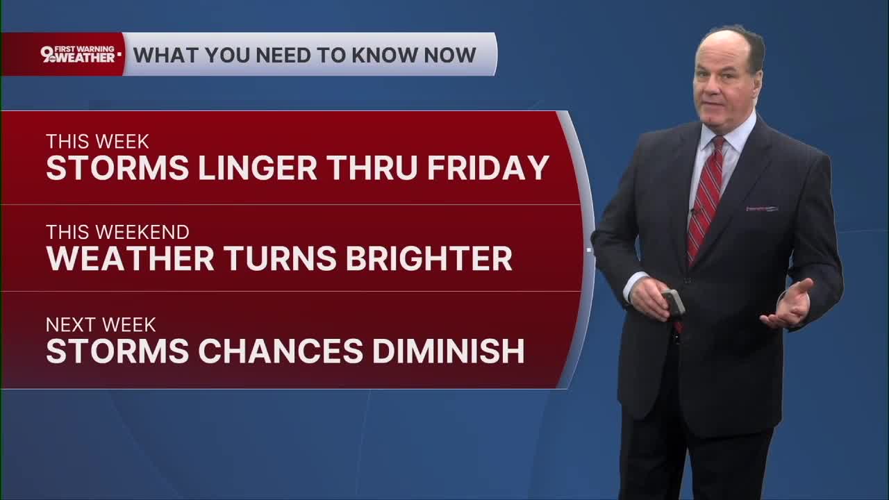
The ground is already saturated, and the Flood Watch continues through Friday morning because additional heavy rain is still possible, though the overall potential is lower Thursday before additional wet weather on Friday.

Thursday stays unsettled. Highs will reach the mid to upper 80s. Expect mostly cloudy skies with scattered showers and thunderstorms possible around dinnertime and into the evening.
The atmosphere remains capable of producing additional clusters of storms and periods of heavy rain, although the heaviest activity should remain farther south. The severe threat is expected to be lower, but locally heavy rain remains a concern.

Specifically, Thursday night looks like the wettest stretch, with showers and possibly a thunderstorm continuing into the overnight hours. Rainfall could total around a quarter to a half inch. Friday remains unsettled, with showers and perhaps a thunderstorm, mainly before evening, followed by only a slight chance later. Highs again reach the upper 80s.
Friday night brings a much-needed improvement, with only a slight chance of showers early and partly cloudy skies developing. Then the weekend turns warmer and brighter. Saturday will be mostly sunny, with highs near 90, and Sunday looks sunny and hotter, with temperatures about the same.
TONIGHT
Chance Rain or storms
Mostly cloudy, very muggy
Low: 70
THURSDAY
Mix of Sun & Clouds
30% Chance Of Isolated Rain/Storms
High: 86
THURSDAY NIGHT
Rain and storms likely
Mostly cloudy
Low: 71
9 First Warning Weather 24/7 Livestream
==========
- Interactive Radar: Track weather to your doorstep
- Sign up for severe weather email alerts
- Check latest school closings and delays
- WCPO traffic updates
- Metro bus detours and updates (or call the hotline at 513-632-7538)
- Latest power outages from Duke Energy
- Flight cancellations and delays from CVG, other U.S. airports
