


Call it a quick return to Spring as afternoon highs reached he upper 60s and even 70 degrees in spots on Wednesday. However, we will feel more like Winter coming up.

While a few clouds still exist now, we'll clear out by daybreak, and morning lows will be frosty again. Because of a cold front, 7 am temperatures will start in the low to mid-30s, then only reach the upper 50s in the afternoon.
Increasing clouds will be evident for Thursday night ahead of another moist cold front that will produce rain on Friday. Right now, it appears the wet weather will begin late morning with thunderstorms possible in the afternoon. In fact, the Storm Prediction Center has placed us in the "Marginal Risk" category for severe storms. I'm not really looking for anything severe, but it's not off the table.

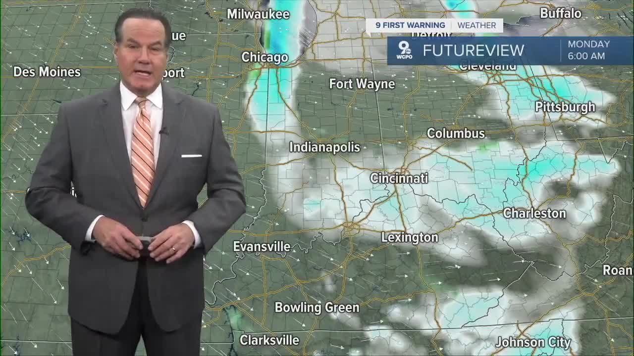
We'll be back to sunshine during the day on Saturday with a chance for showers on Saturday night. More importantly, this next system heading for us will open the door to arctic air that will drop temperatures up to 20 degrees below average. Also, we have a chance for a bit of mixed precipitation late on Sunday and snow showers on Monday morning.
OVERNIGHT
Mostly clear
Low: 37
THURSDAY
Mostly sunny
& Cooler
High: 58
THURSDAY NIGHT
Increasing Clouds
Low: 44
9 First Warning Weather 24/7 Livestream
==========
- Interactive Radar: Track weather to your doorstep
- Sign up for severe weather email alerts
- Check latest school closings and delays
- WCPO traffic updates
- Metro bus detours and updates (or call the hotline at 513-632-7538)
- Latest power outages from Duke Energy
- Flight cancellations and delays from CVG, other U.S. airports
