

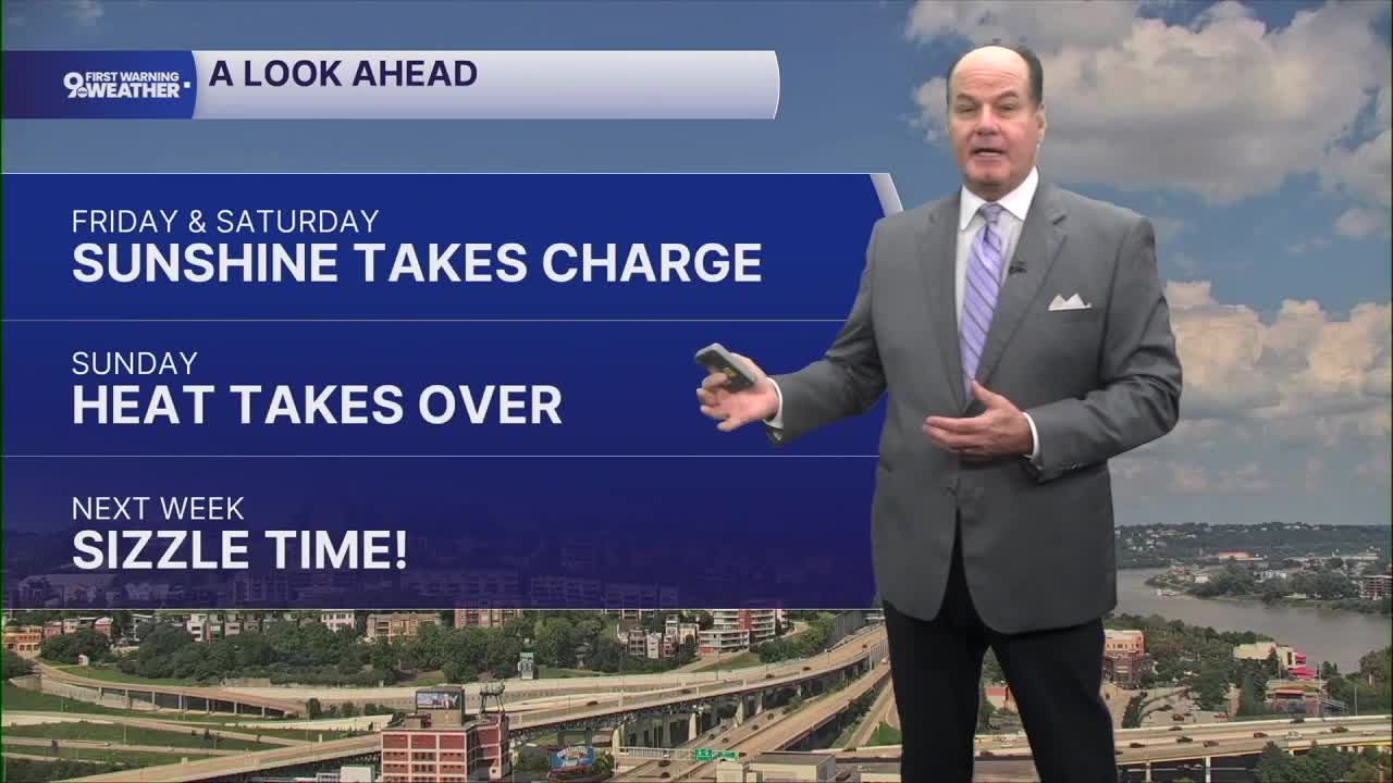


We’re settling into a quiet and seasonal stretch across the Cincinnati Tri-State tonight, with mostly clear skies and temperatures falling into the mid 60s. A light north breeze will gradually ease, setting us up for a typical summer day on Friday.
So, Friday night starts mostly cloudy before skies gradually clear, with overnight temperatures dipping into the low 60s. Saturday looks even brighter as high pressure remains firmly in control. Sunshine dominates, winds stay light, and afternoon temperatures climb into the mid-to-upper 80s. Saturday night remains mostly clear with lows settling into the mid-60s.
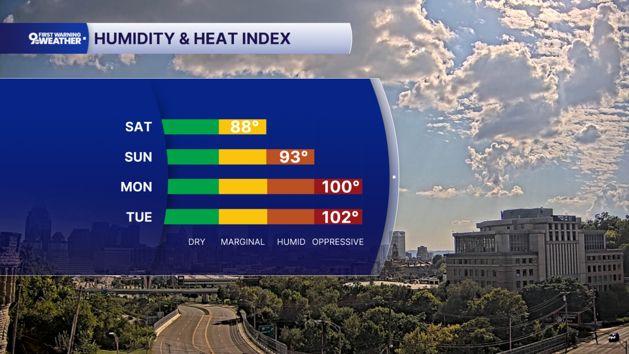
Then comes the noticeable change. The weather pattern begins shifting Sunday as warmer, moist air starts building in our area. Sunday stays sunny and dry, but temperatures jump into the low 90s. That warming trend continues into Monday, Tuesday, and Wednesday, with afternoon highs generally reaching the low to mid 90s and morning lows in the 70s. Heat indices will eventually reach triple digits in the afternoon by midweek.
Despite the increasing heat and humidity, the forecast remains dry through the first half of next week. By midweek, there is some uncertainty about whether a cold front approaching from the northeast can reach the Tri-State. If it does, it could eventually provide our next opportunity for showers and thunderstorms.
OVERNIGHT
Clear
Low: 64
FRIDAY
Sunshine
Dry and not too humid
High: 84
FRIDAY NIGHT
Clear sky
Pleasant
Low: 62
9 First Warning Weather 24/7 Livestream
==========
- Interactive Radar: Track weather to your doorstep
- Sign up for severe weather email alerts
- Check latest school closings and delays
- WCPO traffic updates
- Metro bus detours and updates (or call the hotline at 513-632-7538)
- Latest power outages from Duke Energy
- Flight cancellations and delays from CVG, other U.S. airports
