



Clouds are the only things left from our line of heavy rain earlier. Now, as the sky clears, some fog may develop overnight, particularly in eastern portions of the area. Lows settle into the mid 60s.
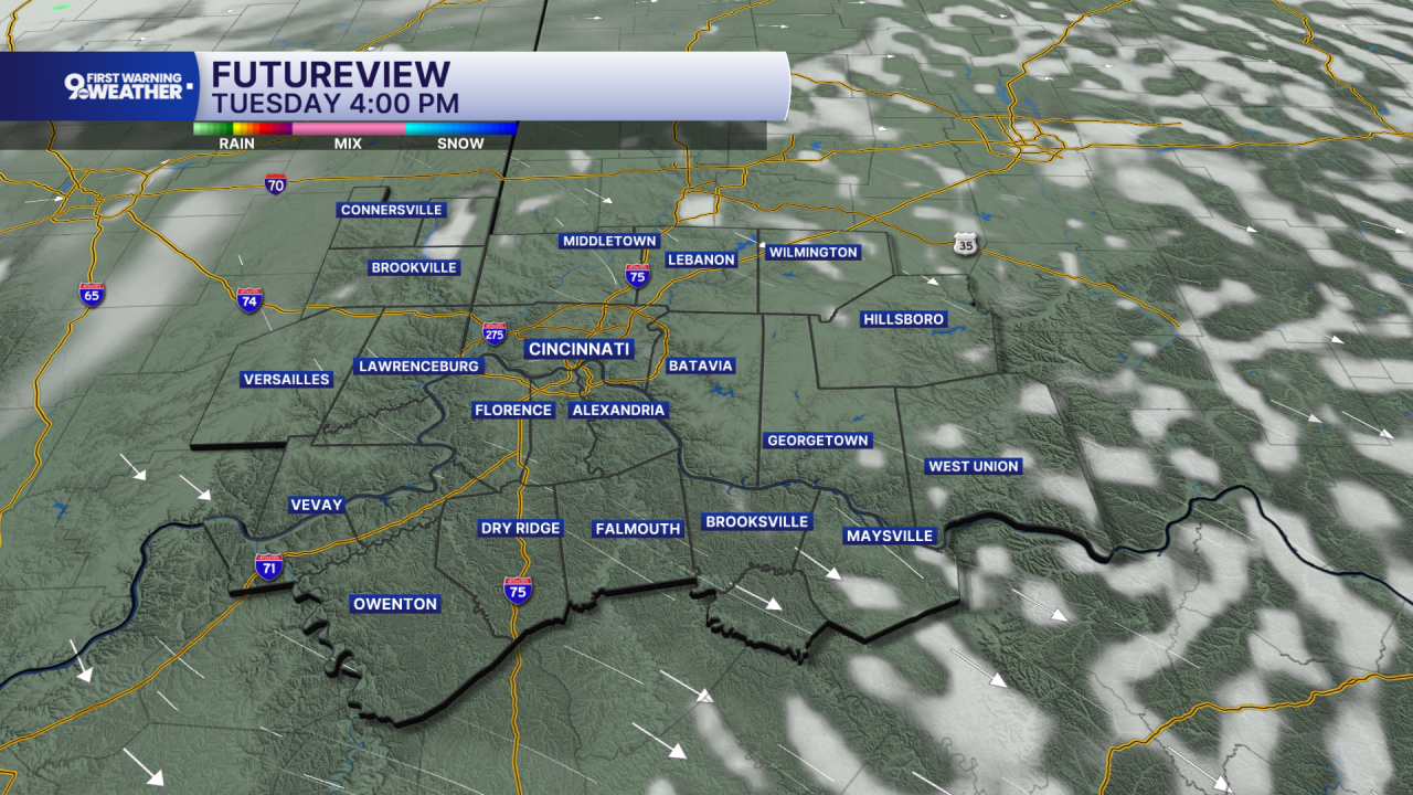
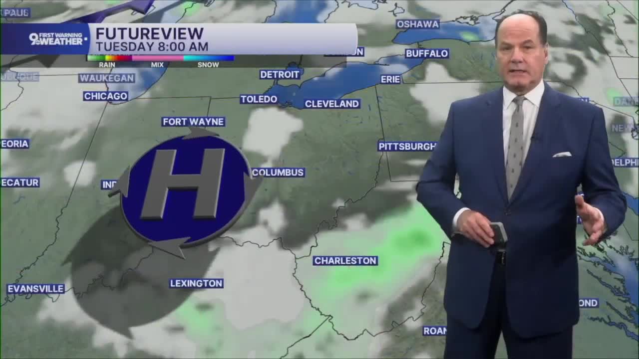
Tuesday brings a much quieter day. We’ll start sunny and stay that way through the afternoon, with highs around 80 and a light northwest breeze. Tuesday night stays mostly clear, with lows in the low to mid 60s. The reason for the improvement is that today’s front pushes the higher moisture away, bringing noticeably drier air behind it.
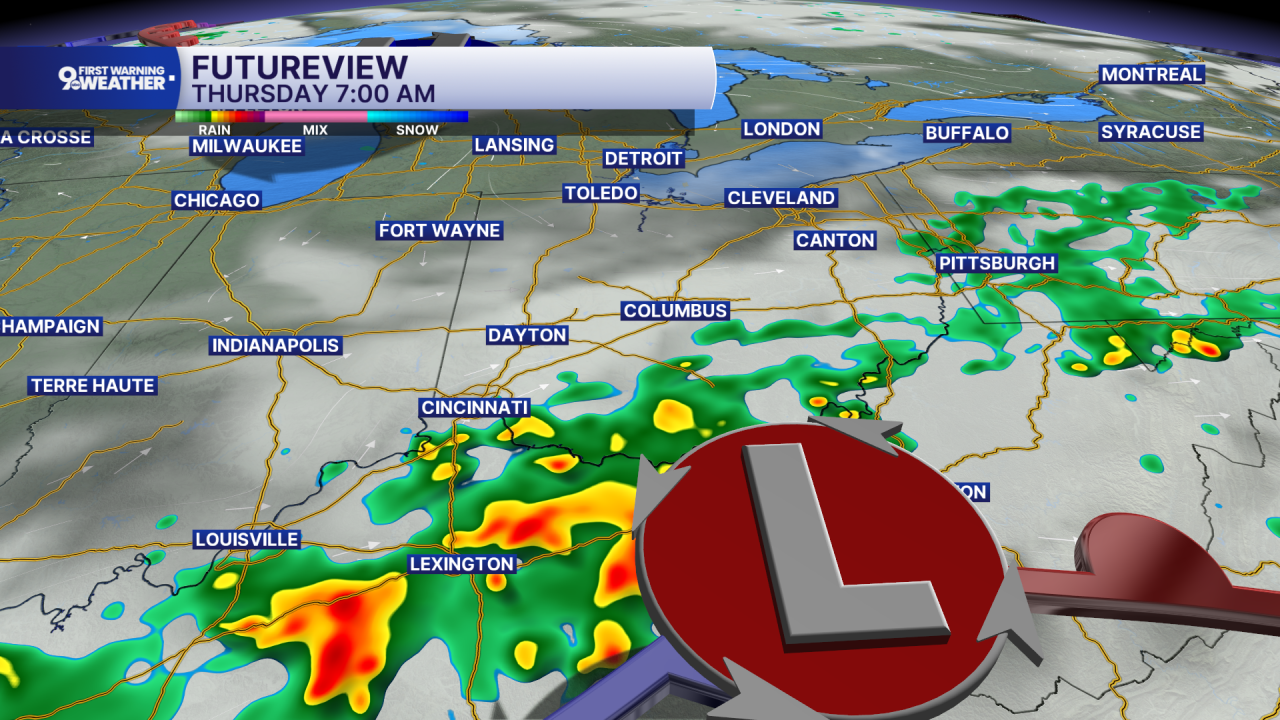
Wednesday starts fairly pleasant, but moisture begins increasing ahead of another front. Look for partly sunny skies and highs in the low 80s, with a chance for showers and thunderstorms developing after 2 PM. Wednesday night is the most active part of that next system, with showers and possibly a thunderstorm becoming more likely during the evening and overnight. Rain chances remain elevated into Thursday, when showers are possible, and thunderstorms could develop during the afternoon. Some showers or storms may linger into Thursday night, especially south.
Then, the pattern turns quieter and cooler. Friday looks sunny with highs around 80, followed by a mostly clear night. Saturday brings another chance for showers, but Sunday looks sunny. By late weekend, highs trend closer to the upper 70s, with overnight lows dipping into the low 60s and eventually around 60.
OVERNIGHT
Gradual clearing
Patchy fog
Low: 66
TUESDAY
Mostly Sunny
Less humid
High: 81
TUESDAY NIGHT
Fair skies
Pleasant
Low: 66
9 First Warning Weather 24/7 Livestream
==========
- Interactive Radar: Track weather to your doorstep
- Sign up for severe weather email alerts
- Check latest school closings and delays
- WCPO traffic updates
- Metro bus detours and updates (or call the hotline at 513-632-7538)
- Latest power outages from Duke Energy
- Flight cancellations and delays from CVG, other U.S. airports
