


It's a quiet overnight around the Tri-State with just a few clouds drifting in from the east. Saturday morning starts with a dry and pleasant outlook. Temperatures will be around 60 in the morning, with low 80s in the afternoon.
Afternoon clouds will build and with it, the return of spotty showers and a few isolated thunderstorms. There's a marginal risk for severe weather with this storm activity as well.

Isolated showers and storms start early Saturday afternoon and will be hit or miss through 5 p.m. But then from 5 to 11 p.m., a line of showers and storms will move across the area. This could impact our outdoor events, including the Garth Brooks concert at Paul Brown Stadium. Our severe weather risks include damaging wind gusts and large hail.

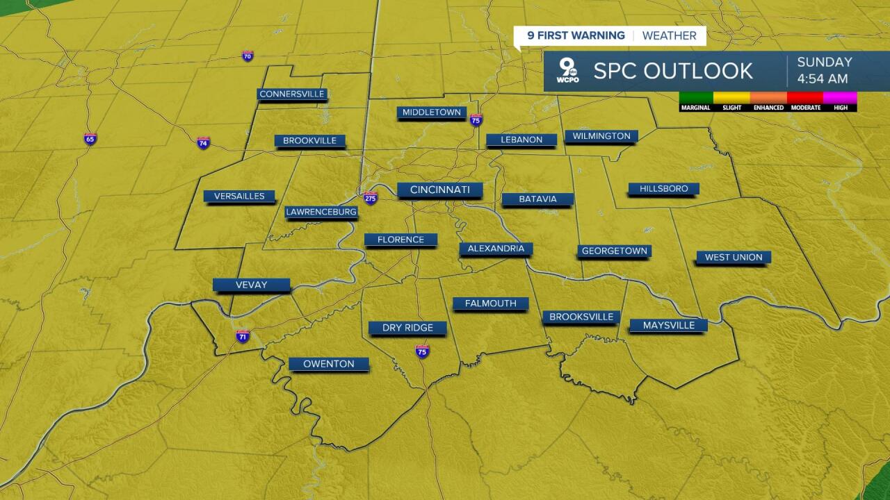
Sunday's forecast is looking promising for the morning and early afternoon hours as well. While the best chance for rain on Sunday will be late that night, there could be a few storm cells that pop Sunday afternoon and evening. If these get going, damaging wind gusts and downbursts are possible. The SPC places our region in a "slight risk" of severe weather for overnight storms. This comes into play overnight as the cold front passes. The biggest downside to overnight rain is the fact that the clouds will block the full lunar eclipse.
TONIGHT
Partly cloudy
Mild
Low: 60
SATURDAY
Partly cloudy morning
Spotty afternoon and evening rain/storms
High: 81
SATURDAY NIGHT
Scattered showers
Isolated storms
Low: 62
SUNDAY
Partly cloudy
Rain holds off until late day/overnight
High: 80
9 First Warning Weather 24/7 Livestream
==========
- Interactive Radar: Track weather to your doorstep
- Sign up for severe weather email alerts
- Check latest school closings and delays
- WCPO traffic updates
- Metro bus detours and updates (or call the hotline at 513-632-7538)
- Latest power outages from Duke Energy
- Flight cancellations and delays from CVG, other U.S. airports
