


I wish I could say otherwise, but the stormy pattern sticks around for the next several days.
Get ready for rain right out the door as scattered showers and storms will break out throughout the day until mid-afternoon. Highs again rise into the mid to upper 80s. Wet weather will become more isolated heading into the late afternoon and evening.
Storm chances continue daily through the rest of the week and into early next week.
OVERNIGHT
Mostly cloudy
Chance shower
Low: 72
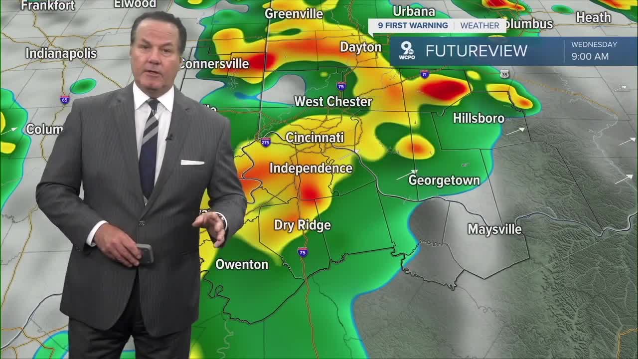
WEDNESDAY
Scattered rain & storms
Mostll Cloudy later
High: 88
WEDNESDAY NIGHT
Mostly cloudy
Still very humid
Low: 73
9 First Warning Weather 24/7 Livestream
==========
- Interactive Radar: Track weather to your doorstep
- Sign up for severe weather email alerts
- Check latest school closings and delays
- WCPO traffic updates
- Metro bus detours and updates (or call the hotline at 513-632-7538)
- Latest power outages from Duke Energy
- Flight cancellations and delays from CVG, other U.S. airports
