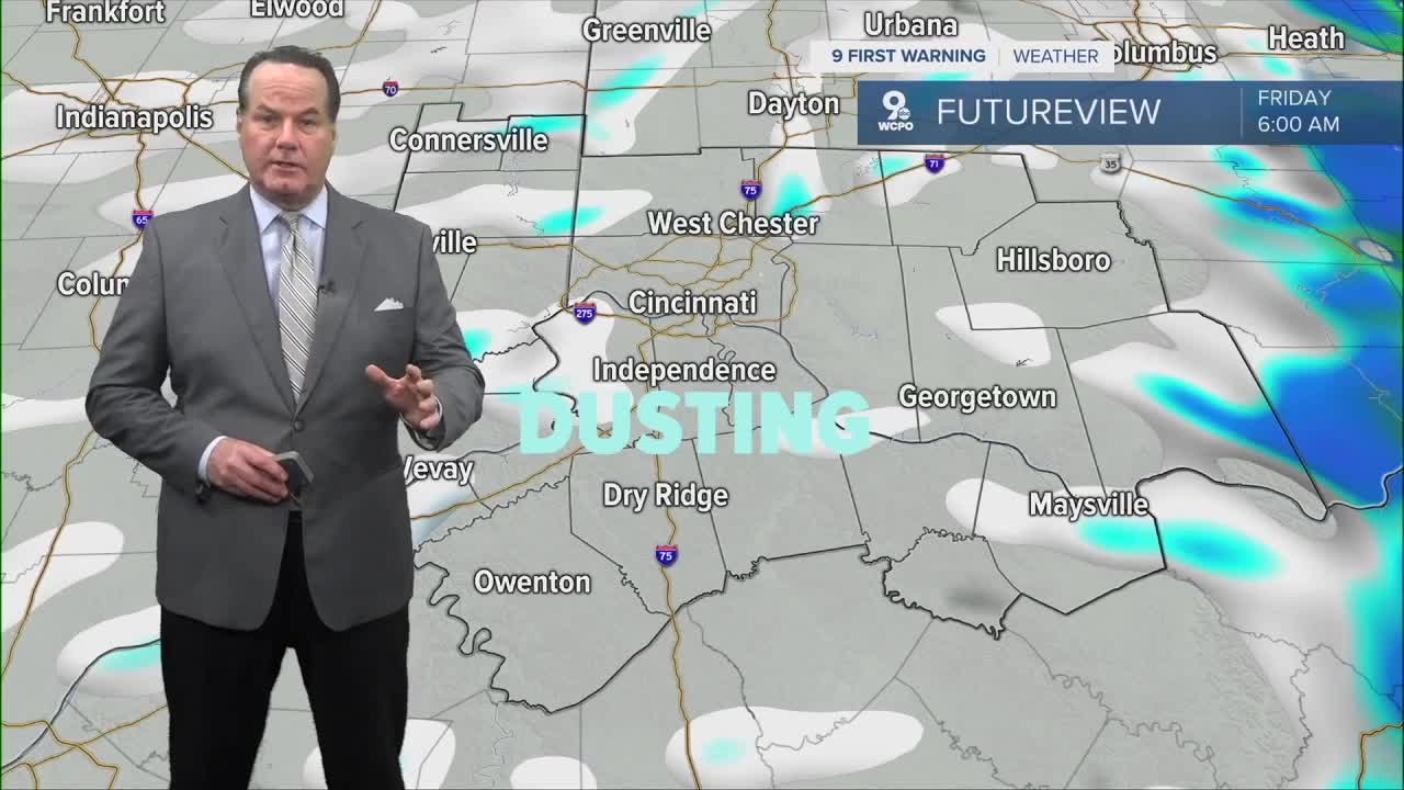


A cold front moving through the area right now is setting the stage for a noticeable change in our weather. As colder air filters in behind the front, ongoing rain will gradually transition to spotty snow showers overnight and into early Friday morning.

Not everyone will see snow, but some neighborhoods could pick up a dusting or possibly a bit more on grassy or elevated surfaces. Any lingering snow showers should wind down by around 7 a.m., ending the wintry side of this system before the morning commute fully gets underway.

Clouds will hang tough early Friday, but as the day goes on, drier air moving in from the west will allow some sunshine to break through. While temperatures will stay on the chilly side, that late-day sun will help improve conditions heading into the afternoon and early evening.
Saturday brings a different feel as warm air advection takes over. Warm air advection simply means milder air is being transported into our region by the wind, typically from the south or southwest. This process allows temperatures to rise even without strong sunshine.
As a result, Saturday will feel noticeably warmer, though clouds may increase at times. That warmth won’t last long, however, as another cold front moves through late Saturday or Saturday night, knocking temperatures back down again.
Looking ahead to next week, our next meaningful chance for rain arrives Tuesday or Wednesday, with Wednesday falling on Christmas Eve.

Christmas Day itself carries only a slight chance for rain, and temperatures are expected to be unusually mild for late December, pushing close to 60 degrees. It may not feel very wintry, but it should be relatively comfortable for holiday plans.
OVERNIGHT
Showers continue, brief wintry mix
Spotty snow showers
Low: 23
FRIDAY
Mostly cloudy, snow showers
To partly sunny
High: 31
FRIDAY NIGHT
Few clouds
Chilly
Low: 25
9 First Warning Weather 24/7 Livestream
==========
- Interactive Radar: Track weather to your doorstep
- Sign up for severe weather email alerts
- Check latest school closings and delays
- WCPO traffic updates
- Metro bus detours and updates (or call the hotline at 513-632-7538)
- Latest power outages from Duke Energy
- Flight cancellations and delays from CVG, other U.S. airports
