



A deck of clouds is still sitting over the Tri-State, providing another gloomy start to the day. This will continue to produce drizzle and mist at times. Temperatures are in the low 60s.
The surface trough that brought in yesterday's isolated rain showers and dominant deck of clouds will continue moving west today. This will slowly allow clouds to decrease from east to west and reveal more sunshine later this afternoon. I wouldn't expect it to completely clear out, though. Highs will increase to the low 70s.
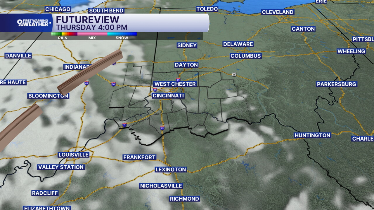
We'll see a gap in cloud cover tonight and this allows temperatures to dip to the 50 degree mark. Our air will have more of a chill to it tomorrow morning.
Friday's forecast will be mostly sunny with temperatures rising back to the low 70s. It's late in the day that you'll see clouds marching back in from west to east. Winds will continue from the northeast at 5 to 10 mph.
The weekend forecast looks fantastic! We'll top out at 73 and 74 degrees for Saturday and Sunday. Both days will be dry and partly cloudy. And the morning hours will be chilly, dipping into the upper 40s. It would be a perfect weekend to go camping or get a little bonfire going in the evening hours! Enjoy!
MORNING RUSH
Overcast
Drizzle at times
Low: 60
THURSDAY
Mostly cloudy
To partly sunny
High: 72
THURSDAY NIGHT
Mostly clear
Cooler, chilly
Low: 50
FRIDAY
Partly cloudy
Late day clouds
High: 72
FRIDAY NIGHT
Partly cloudy
Cool again
Low: 48
9 First Warning Weather 24/7 Livestream
==========
- Interactive Radar: Track weather to your doorstep
- Sign up for severe weather email alerts
- Check latest school closings and delays
- WCPO traffic updates
- Metro bus detours and updates (or call the hotline at 513-632-7538)
- Latest power outages from Duke Energy
- Flight cancellations and delays from CVG, other U.S. airports
