


Rain has been off and on the last 24 hours and that won't change as we start off our Saturday.

Keep the umbrella handy early in the day, but you'll notice improving conditions around the noon hour. Our storm chances will start to fire up late in the afternoon as our front finally starts to slide off to the SE.
Sunday brings a much-needed change, with partly sunny skies and warmer temperatures climbing into the middle 80s. There’s a small chance of a shower.

The sunshine sticks around as we head into next week, but so does a building stretch of summer heat. High temperatures will climb into the lower 90s from Monday through the end of the week, while nighttime lows stay well into the 70s, offering very little relief after sunset.

Warm, humid air will continue flowing into the Tri-State, making it feel increasingly uncomfortable through the middle of the week. Heat Indices, or "feels-like" temps, will stretch to around 105°, putting us near the dangerous heat zone.
If you have outdoor plans, be prepared for several days of hot weather, and keep an eye out for possible heat advisories as the extended stretch of heat continues right into the 4th of July weekend.
THIS MORNING
Scattered rain
Warm
Low: 67
SATURDAY
Scattered showers
Isolated storms early
Gradual clearing later
High: 81
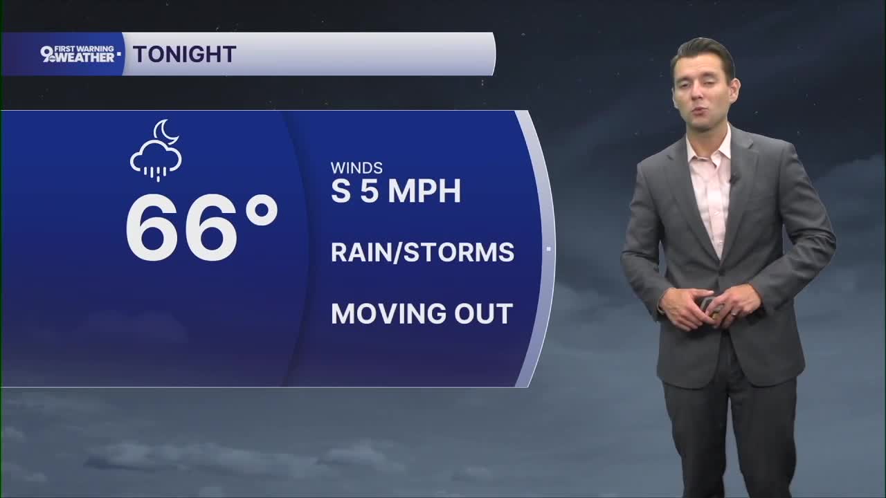
SATURDAY NIGHT
Slight chance of a shower
Mostly cloudy
Low: 66
SUNDAY
Partly cloudy, muggy
Isolated showers and storms late
High: 86
9 First Warning Weather 24/7 Livestream
==========
- Interactive Radar: Track weather to your doorstep
- Sign up for severe weather email alerts
- Check latest school closings and delays
- WCPO traffic updates
- Metro bus detours and updates (or call the hotline at 513-632-7538)
- Latest power outages from Duke Energy
- Flight cancellations and delays from CVG, other U.S. airports
