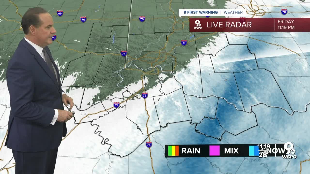


Here's a look at how much snow we are talking about across the area. The lightest amount of snow will be around Greater Cincinnati with snowfall totals from 1"-2" . Then, Northern Kentucky and communities southeast of the metro will see 2"-3" of snow.
In response to the snow expectation, the National Weather Service has issued a WINTER WEATHER ADVISORY for the majority of our viewing area. That aligns well with the light snow expected. This starts at 7 p.m. Friday and continues through 10 a.m Saturday.
The NWS also issued a WINTER STORM WARNING for Adams County where 3-4" of snow is possible.

There is no doubt that it will turn much colder on Saturday as cold air comes in behind this snow. We'll cool to 21 overnight and only warm back to 27 Saturday afternoon. The sky will be mostly cloudy. No new snow accumulation is expected tomorrow but with so much cold air present, slick spots will still be possible. Also, wind chills will be in the teens!
Temperature bounce back to the mid 40s on Sunday and the upper 50s on Monday
OVERNIGHT
Snow ends
Low: 19
SATURDAY
Mostly cloudy
The clearing
High: 27
SATURDAY NIGHT
Partly cloudy
Colder
Low: 17
SUNDAY
Partly cloudy
Not as cold
High: 46
==========
