




The leftover rain ends overnight as a weak cold front pushes to our south, and we will cool off to the low 70s for Sunday morning.
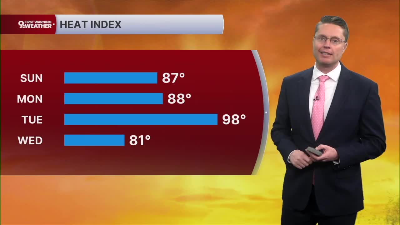
Sunday will be a little more comfortable! Highs will be in the mid 80s with more sunshine and a slight drop in the humidity.
Monday morning will be cooler with mid 60s, and we again only warm into the mid 80s for the afternoon with a mix of sun and clouds.
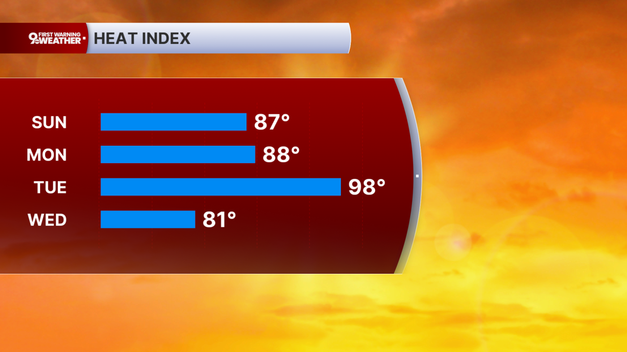
We get hot and humid Tuesday, helping to fuel some storms in the second half of the day as a stronger cold front moves in from the northwest. Some of these storms could be strong or severe. Before they arrive, we will warm into the upper 80s with a heat index pushing near 100.

Behind Tuesday's cold front, the heat and humidity drop for a few days! Wednesday and Thursday will be in the low 80s with a mix of sun and clouds. Thursday and Friday mornings will drop into the low 60s allowing homes without AC to finally cool off more.
There's a small chance for rain Friday and Saturday, and we will get a little warmer for the weekend. Saturday will be in the mid 80s, followed by upper 80s on Sunday.
OVERNIGHT
Rain ends
Partly cloudy
Low: 70
SUNDAY
Partly cloudy
Not as humid
High: 84
SUNDAY NIGHT
Mostly clear
Cooler
Low: 65
MONDAY
Partly cloudy
Near Average
High: 84
9 First Warning Weather 24/7 Livestream
==========
- Interactive Radar: Track weather to your doorstep
- Sign up for severe weather email alerts
- Check latest school closings and delays
- WCPO traffic updates
- Metro bus detours and updates (or call the hotline at 513-632-7538)
- Latest power outages from Duke Energy
- Flight cancellations and delays from CVG, other U.S. airports
