

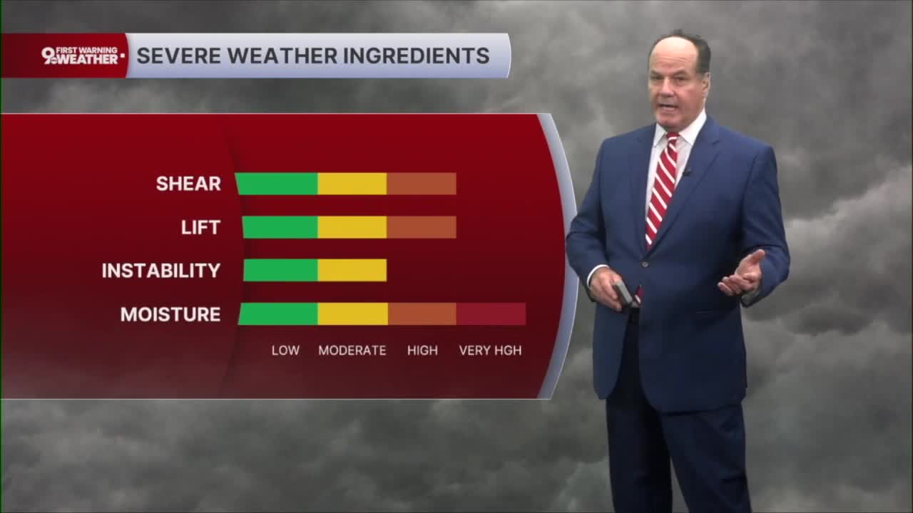


Overnight will be quiet for most of the Tri-State, but it marks the beginning of a much more active weather pattern. There is some uncertainty regarding whether remnants of overnight thunderstorms will reach parts of the area by Tuesday morning and how that could affect temperatures later in the day.
However, Tuesday will be a 9 First Warning Weather Alert Day with potential severe storms expected in the Tri-State throughout Tuesday.
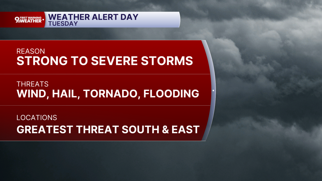
If the atmosphere is able to “recover”, conditions will become favorable for strong to severe thunderstorms to develop Tuesday afternoon and continue into the early evening. We could even see sever thunderstorms in the morning. Right now, the Storm Prediction Center has placed a portion of the Tri-State under either a Slight or Enhanced Risk for severe thunderstorms on Tuesday. An Enhanced Risk means numerous severe storms are possible, with a greater concentration of severe weather than in lower risk categories.
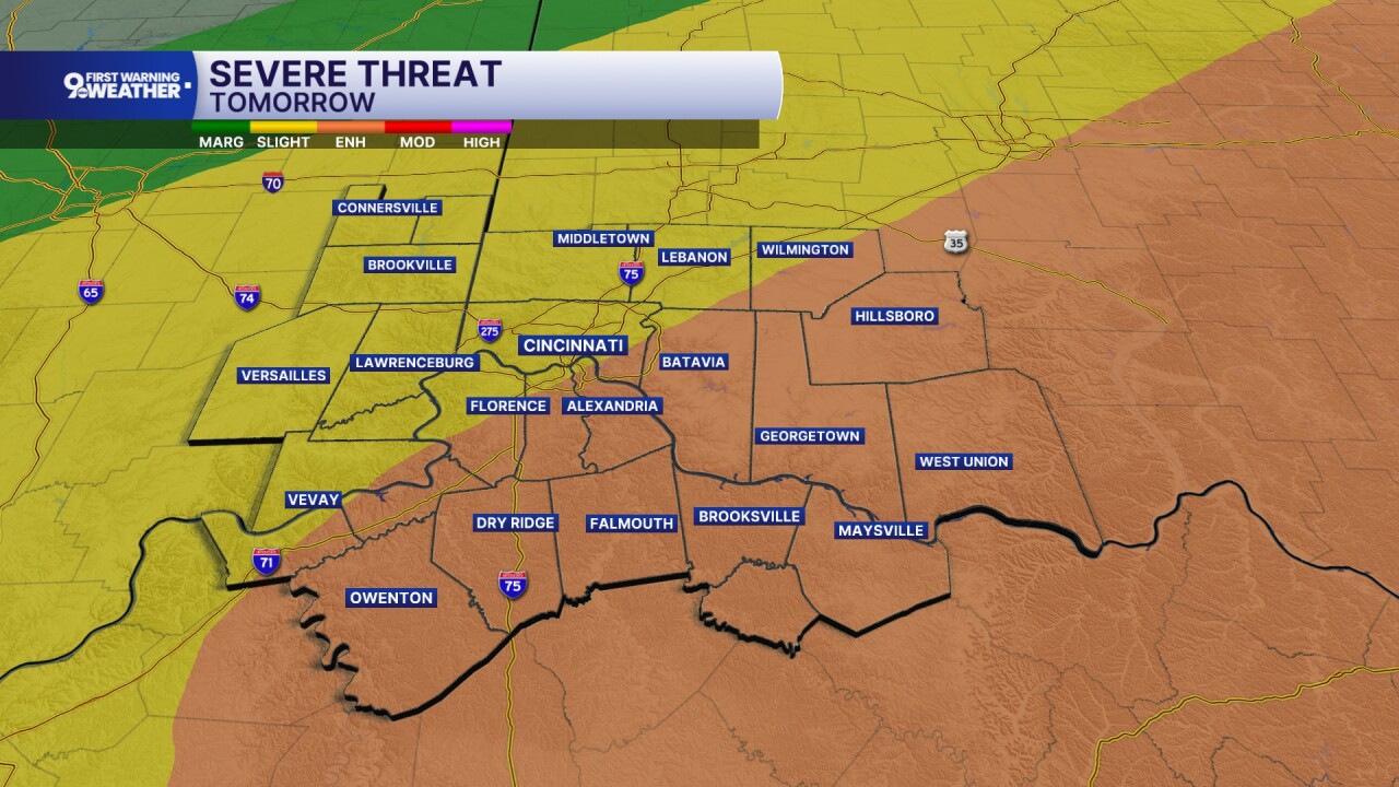
The greatest concern will be across the southeastern two-thirds of the Tri-State, where damaging straight-line winds are expected to be the primary hazard. Large hail, an isolated tornado, and locally heavy rainfall that could lead to isolated flash flooding are also possible.
Tuesday will be warm and humid with winds gusting to around 25 mph even before a cold front moves through Tuesday night. Showers and thunderstorms gradually diminish during the evening, with cooler and drier air arriving for the middle and latter part of the week.
From Wednesday through the weekend, Cincinnati settles into a much quieter weather pattern behind Tuesday's cold front. Sunshine dominates Wednesday and Thursday with comfortable conditions, while Friday remains mostly sunny. The weekend continues dry with abundant sunshine as temperatures gradually trend warmer, making for a classic midsummer finish to the week.
OVERNIGHT
Increasing clouds
Humid
Low: 70
TUESDAY
Rain & storms develop
Severe weather likely
High: 86
TUESDAY NIGHT
Storms ending early
Partly cloudy
Low: 66
WEDNESDAY
Partly cloudy
Lower humidity
High: 79
