


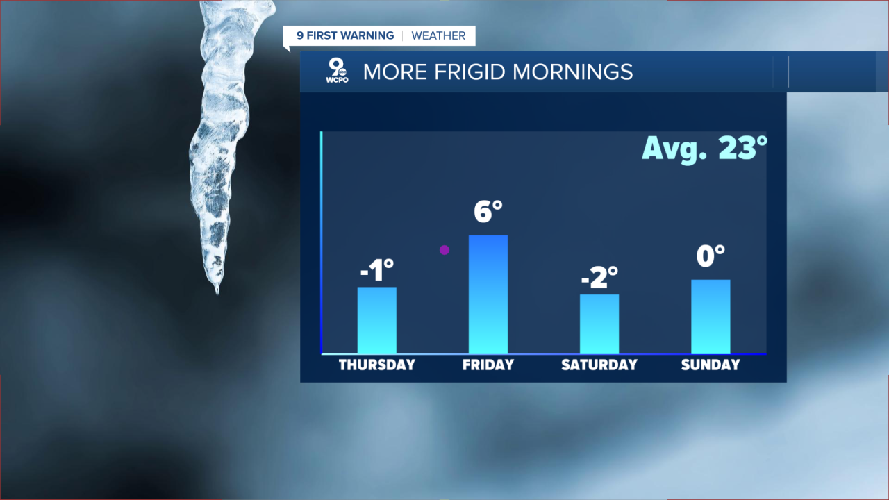
Some kiddos are heading back in the morning, so it'll be imperative that they dress in layers and cover up as much skin as possible to help avoid frostbite. The wind stays lighter into Thursday morning, but with temperatures dropping just below zero, wind chills of -5 to -15 will be possible in spots. Highs will be rising to only the upper teens on Thursday afternoon.

Friday morning, a chance of snow is back in the forecast. The track could change before early Friday, but right now we could see an inch or a bit more of snow during the commute hours.
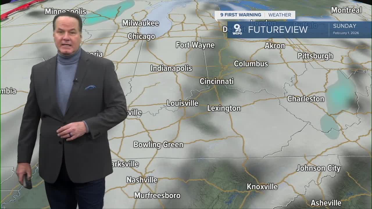
Some computer models show that it could stay south of us, more towards Lexington, so we'll keep you updated. The afternoon will be mostly cloudy with highs in the teens again.
The cold weather continues into the weekend. Both weekend mornings, morning lows will begin at zero or below. Then, we only warm into the teens in the afternoon.

To put things in perspective, our normal overnight low is 23° and the afternoon high averages at 40°. The lousy news from the Climate Prediction Center says that we have a 50% chance for colder than average temperatures over about the next two weeks.
OVERNIGHT
Partly cloudy
Very cold again
Low: -1
THURSDAY
Partly to mostly sunny
Still very cold
High: 19
THURSDAY NIGHT
Still very cold
Mostly cloudy
Low: 3
9 First Warning Weather 24/7 Livestream
==========
- Interactive Radar: Track weather to your doorstep
- Sign up for severe weather email alerts
- Check latest school closings and delays
- WCPO traffic updates
- Metro bus detours and updates (or call the hotline at 513-632-7538)
- Latest power outages from Duke Energy
- Flight cancellations and delays from CVG, other U.S. airports
