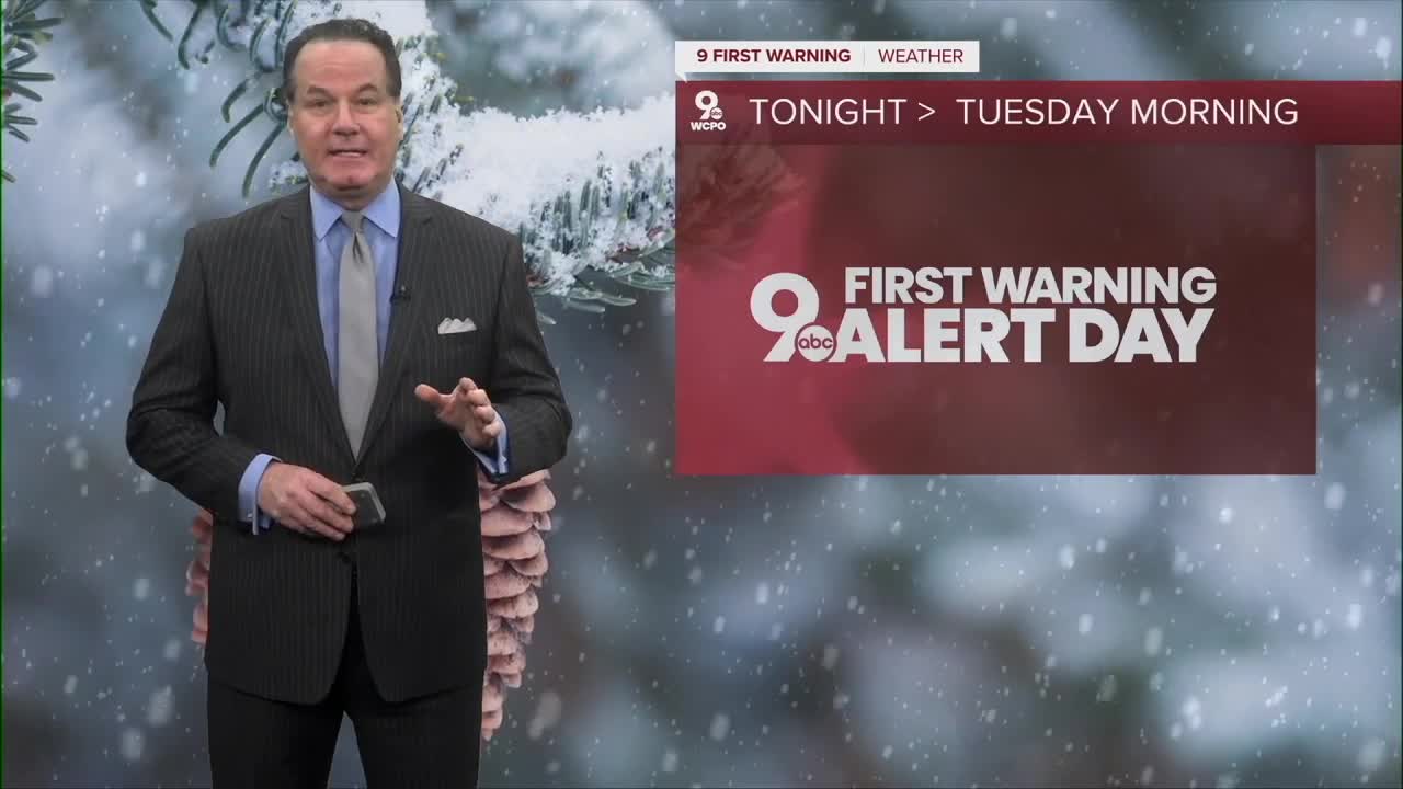


9 FIRST WARNING WEATHER ALERT DAY- Snowfall has begun and will continue as moisture sweeps in from the west. We'll see from 2"- 4" of snowfall, with some isolated snowfall in communities up to 5" of snow.
TIMELINE:
- Now- SE Indiana & Increasing across the Tri-State
- Overnight - Moderate to areas of heavy snow for a short time for everyone
- 7 a.m. - Light -Moderate snow ending
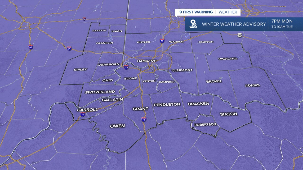
A Winter Weather Advisory is in effect until 10 a.m. Tuesday.
After the snow exits, it will take time for travel conditions to improve across the area. No additional snow is expected to accumulate during the day on Tuesday, but we cannot rule out a few flurries in the afternoon hours as winds turn to the northwest. Highs only increase to 33 degrees.
Colder air settles in Tuesday night as lows drop to the low 20s under a partly cloudy sky.
OVERNIGHT
Snow
2-4" accumulates by daybreak
Low: 29
TUESDAY
Snow ends by 8 a.m.
Mostly cloudy, flurries
High: 33
TUESDAY NIGHT
Partly cloudy
Much colder
Low: 21
9 First Warning Weather 24/7 Livestream
==========
- Interactive Radar: Track weather to your doorstep
- Sign up for severe weather email alerts
- Check latest school closings and delays
- WCPO traffic updates
- Metro bus detours and updates (or call the hotline at 513-632-7538)
- Latest power outages from Duke Energy
- Flight cancellations and delays from CVG, other U.S. airports
