




As the humidity starts to climb overnight, we won't be able to cool off as much as the last couple mornings. Most of the Tri-State will start Sunday in the upper 60s with more clouds than sunshine.
Sunday afternoon will be partly cloudy as the heat and humidity really start to kick in. Highs will be in the upper 80s, but it will be feeling like the low 90s. A couple spotty storms could make it into the Tri-State Sunday night, but most of us will be dry.
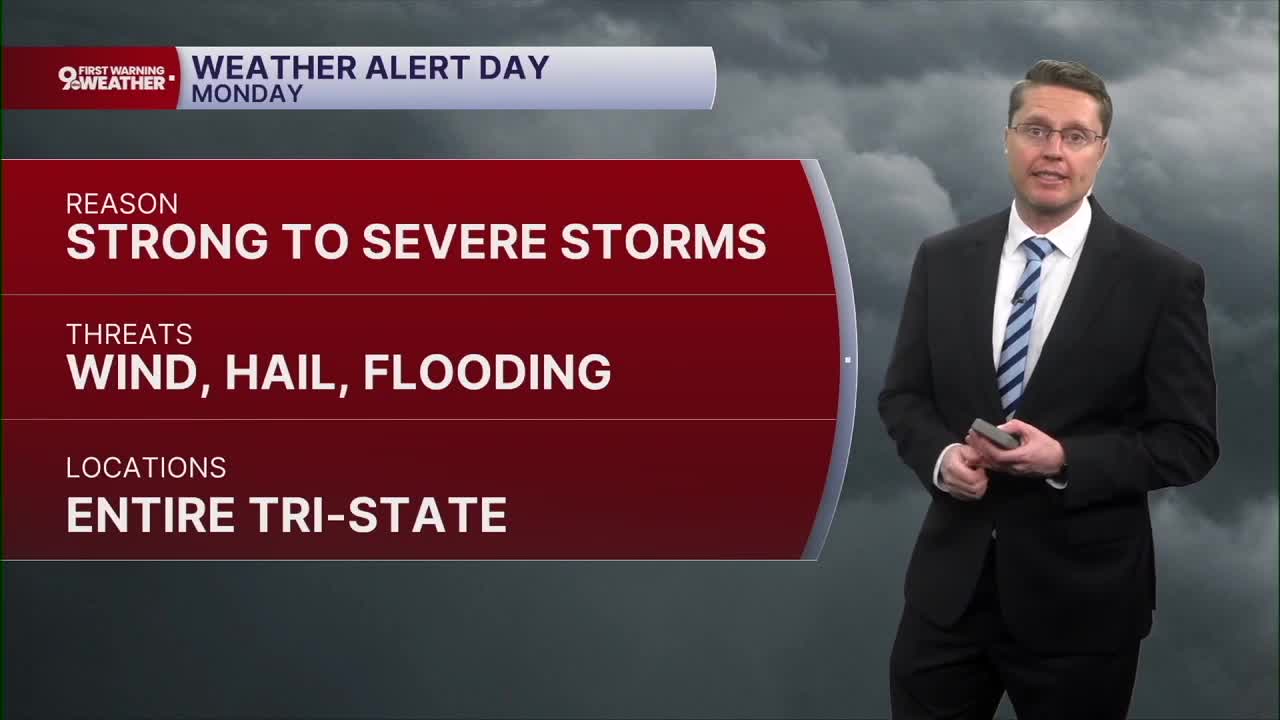
The better opportunity for rain and storms will be Monday. There is still a lot of uncertainty on the timing of the storms. While they could arrive as early as the late morning, there's also a chance they don't arrive until late Monday night. Hopefully we'll have more confidence on the timing soon. No matter when the storms arrive, they could be strong to severe. This will include the threat for a couple areas of flash flooding due to the large amount of moisture in the atmosphere. As a result, we are issuing a 9 First Warning Weather Alert Day for Monday.

The Storm Prediction Center has us under a slight risk for severe weather, which is a 2 of 5 on their severe risk scale.

If we're able to stay dry long enough Monday, highs could hit 90 in Cincinnati, pushing the heat index into the upper 90s.
A few leftover spotty showers and storms are possible Tuesday, but a lot of us will be dry. Highs will be in the upper 80s with a mix of sunshine and clouds... and plenty of humidity.
Behind a weak cold front, we will drop into the low 80s Wednesday with partly cloudy skies. This will also help to drop the humidity.
Thursday and Friday will be partly cloudy with mid 80s both afternoons. The lower humidity will also let us drop into the mid 60s for the mornings.
The mid 80s continue for the weekend. It looks mostly cloudy, but dry, for FC Cincinnati on Saturday. Sunday brings a lot more sunshine.
OVERNIGHT
Mostly Cloudy
Not as cool
Low: 68
SUNDAY
Partly cloudy
Humid
Spotty storms late
High: 88
SUNDAY NIGHT
Partly Cloudy
Warm
Low: 70
MONDAY
Partly cloudy
Humid
Scattered storms
High: 90
9 First Warning Weather 24/7 Livestream
==========
- Interactive Radar: Track weather to your doorstep
- Sign up for severe weather email alerts
- Check latest school closings and delays
- WCPO traffic updates
- Metro bus detours and updates (or call the hotline at 513-632-7538)
- Latest power outages from Duke Energy
- Flight cancellations and delays from CVG, other U.S. airports
