



Another day of sunshine? Yes, it's happening again!
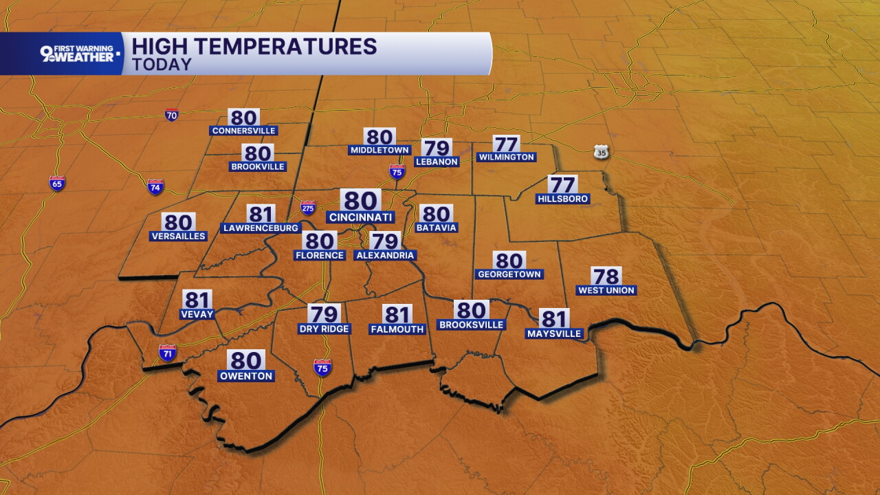
High pressure is settling off to the east today and this will give us another sunny forecast here in the Ohio Valley. Winds are going to pick up from the southwest at 5 to 10 mph and this will help warmer temperatures a bit more too. We'll start the day at 49 degrees but end up with a high of 80 degrees by 4 p.m.
The sky is still clear tonight despite a weak cold front passing. This system might bring in a brief cloud but it won't last long. Lows cool to 55 tonight, so not quite as cool.
Thursday is going to be another ideal day with highs in the upper 70s and a sunny sky. Friday's also sunny with a high of 74 degrees!
Our weekend forecast starts dry and you'll notice increasing clouds on Saturday. This is moisture ahead of a soggy Sunday forecast.
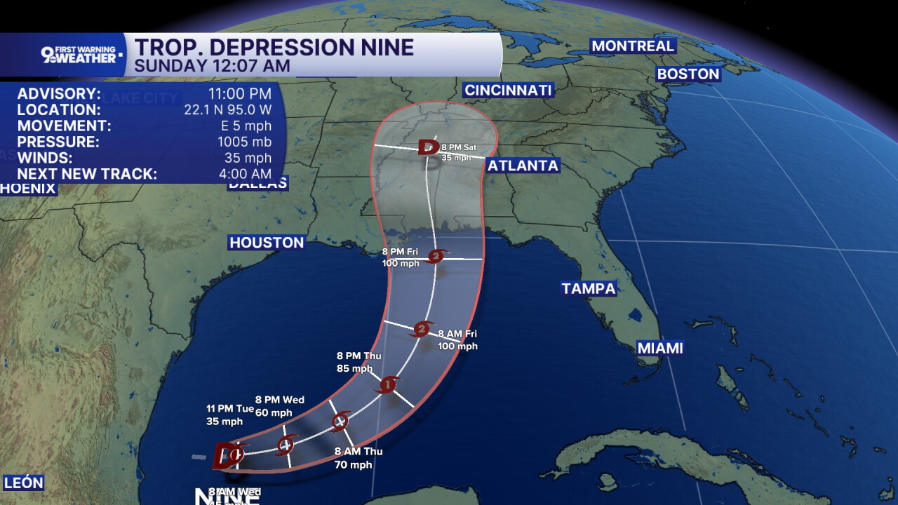
Tropical Storm Isaias should form today in the Gulf. This will become Hurricane Isaias on Thursday and the first hurricane of the Atlantic hurricane season. Strong winds and heavy rain will come on shore in Mississippi and Alabama on Friday. That moisture then continues to the north on Saturday, ending up just south of our area late in the day. Those are the clouds we'll see. Then, Saturday night and Sunday, showers are expected as the remnants of this system pass through the Ohio Valley.
MORNING RUSH
Clear sky
Cool again
Low: 49
WEDNESDAY
Sunshine
Warmer
High: 80
WEDNESDAY NIGHT
Clear sky
Not as cold
Low: 55
THURSDAY
Sunshine
Mild again
High: 78
THURSDAY NIGHT
Clear sky
Pleasant
Low: 50
9 First Warning Weather 24/7 Livestream
==========
- Interactive Radar: Track weather to your doorstep
- Sign up for severe weather email alerts
- Check latest school closings and delays
- WCPO traffic updates
- Metro bus detours and updates (or call the hotline at 513-632-7538)
- Latest power outages from Duke Energy
- Flight cancellations and delays from CVG, other U.S. airports
