

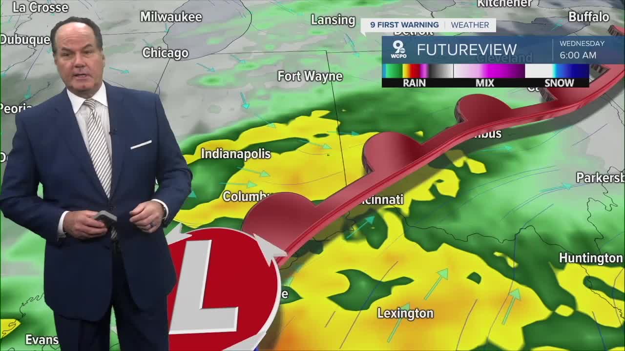


A Severe Thunderstorm Watch has been issued for several counties until 4 am, as storms could produce pockets of strong winds with larger hail, along with very heavy rain and frequent lightning. A low-end tornado can not be ruled out.

Also, these storms are dropping 1'-2" of rain an hour, which has caused flood issues and could cause others as the next round of rain continues.

By 2 or 3 am, the line will move into our most eastern areas. These will also come with at least a slight risk of severe storms. The main concern with the line of storms will be damaging wind. The rain could also be heavy enough to back up the drainage system, which could cause some temporary flash flooding until the rain lightens up.

As for Tuesday, the front stalls over the Tri-State and this will produce a few, isolated storms as highs stay warm, humid in the mid to upper 70s with windy conditions. The wet weather will continue through late at night.
Wednesday looks cooler and pretty wet at times, especially in the morning with showers and maybe a storm, then more scattered activity into the afternoon. Highs only reach the mid-60s, and by Wednesday night, things finally start drying out with cooler air moving in with lows dropping to the mid-40s.
From there, the rest of the week looks really nice. Thursday through Sunday is mostly sunny and dry, with highs in the low to mid-60s and cooler nights dipping into the 40s, even upper 30s by the weekend. Sunday warms slightly to the upper 60s, closing out the week on a comfortable note.
OVERNIGHT
Strong or severe storms
Storm ending after 4am
Chance of an isolated scattered shower toward the morning rush
Low: 62
LATER TODAY
Partly cloudy
Slight rain chance
High: 76
TUESDAY NIGHT
Storms likely
A few stronger storms possible
Low: 57
9 First Warning Weather 24/7 Livestream
==========
- Interactive Radar: Track weather to your doorstep
- Sign up for severe weather email alerts
- Check latest school closings and delays
- WCPO traffic updates
- Metro bus detours and updates (or call the hotline at 513-632-7538)
- Latest power outages from Duke Energy
- Flight cancellations and delays from CVG, other U.S. airports
