

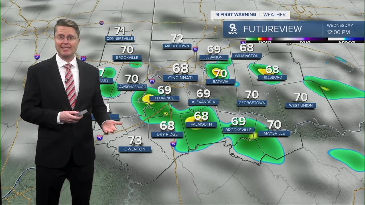



We stay dry early tonight, but overnight, a few spotty showers will start to pop up across the Tri-State. Some of us will be seeing rain for the morning commute, but there will also be a number of dry areas with upper 50s to start the day.
Scattered rain will continue across the region through Wednesday afternoon. More than half of us should see rain at some point during the day, but there will also be a number of cities that get missed by the rain. Dry areas will be in the low 70s, but the rain will keep some spots in the upper 60s. Some late-day sunshine is possible before sunset.

Thursday brings more sunshine, helping to warm us into the upper 70s.
Before our next cold front arrives late Friday, we should be able to make it closer to 80 to finish the workweek. As early as the afternoon, there could be a few spotty showers making it into the Tri-State ahead of the cold front, but the bulk of the rain likely holds off until late Friday. Most of the rain should wrap up Saturday morning.

The weekend will be a little cooler thanks to the cold front, but it will still be a touch above average. Both afternoons will be in the low 70s with a mix of sunshine and clouds.
Monday will be partly cloudy with mid 70s. Later in the day, another cold front brings another round of rain. This drops us into the 60s for the middle of next week.
TUESDAY NIGHT
Clouds return
Spotty rain
Low: 58
WEDNESDAY
Scattered showers
Isolated storms
High: 73
WEDNESDAY NIGHT
Partly cloudy
Mild
Low: 55
THURSDAY
Partly cloudy
Warmer
High: 79
9 First Warning Weather 24/7 Livestream
==========
- Interactive Radar: Track weather to your doorstep
- Sign up for severe weather email alerts
- Check latest school closings and delays
- WCPO traffic updates
- Metro bus detours and updates (or call the hotline at 513-632-7538)
- Latest power outages from Duke Energy
- Flight cancellations and delays from CVG, other U.S. airports
