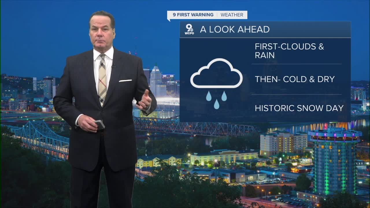


Clouds will thicken up into Tuesday morning as temperatures stay mild overnight due to a shift in our winds. You can expect out-the-door temperatures in the low 40s.
While we have wet weather later this week, a year ago today was another matter.

We only missed 6th place by a tenth of an inch!

Tuesday will be a mostly cloudy and dreary-looking day again, but don't let that stop you from making outdoor plans. Temperatures will be mild tomorrow, warming even more to the mid-50s. Winds will be breezy from the southwest at 10 to 20 mph.
We'll get a midweek boost... After morning clouds, some sunshine is back on Wednesday with highs in the mid-50s. Afternoon highs continue to rise into the low 60s by Friday.
Rain chances are building for the end of the week as well. By Thursday night, we'll see a complex weather system bring some scattered showers before heavier rain moves in overnight into Friday. The system doesn't move east of us until Saturday afternoon, so until that time, we'll see showers and rain.

Meanwhile, temperatures will hover near 60 for Thursday and Friday. Much cooler over the weekend as colder air returns by Sunday.
OVERNIGHT
Mostly cloudy
Low: 41
TUESDAY
Mostly cloudy
Chance sprinkles & breezy
High: 56
TUESDAY NIGHT
Partly cloudy
Dry
Low: 40
9 First Warning Weather 24/7 Livestream
==========
- Interactive Radar: Track weather to your doorstep
- Sign up for severe weather email alerts
- Check latest school closings and delays
- WCPO traffic updates
- Metro bus detours and updates (or call the hotline at 513-632-7538)
- Latest power outages from Duke Energy
- Flight cancellations and delays from CVG, other U.S. airports
