


Cincinnati reached 87 degrees on Monday, making for a forecast that felt more like summer was still here.
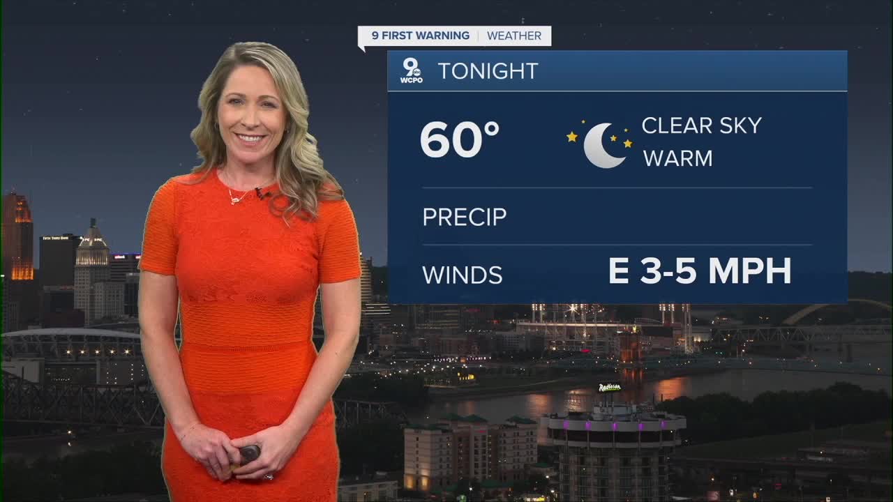
Tonight stays mostly clear with lows near 60.

High pressure will still be in control tomorrow and this will mean another day of sunshine and warmer-than-average temperatures. We should top out around 84 degrees on Tuesday. Winds will be light from the northeast. Humidity remains low in the area yet again.

For perspective, late September highs usually average in the mid 70s. That means we are running about 5 to 10 degrees above normal, and this trend will continue through the rest of the week and weekend.
The dry pattern continues all week. The dry stretch works well for harvesting corn, soybeans, pumpkins, and apples. Expect dry fields, a firm ground for equipment, and longer working hours without rain slowing down productivity.
Tropical Update:
Two systems are active in the Atlantic. Hurricane Humberto remains a major storm but is forecast to curve back out to sea. The only land area at risk is Bermuda, which may feel the outer edges of Humberto today and tomorrow.

Tropical Storm Imelda is tracking toward the southeast coast with the Carolinas most at risk. This system could bring rain and coastal impacts to parts of the southeast. For us in Cincinnati, there's no longer a chance for showers to move northward into the Tri-State since the system is on track to curve back out to sea.
TONIGHT
Clear skies
Mild
Low: 60
TUESDAY
Mostly sunny
Beautiful
High: 83
TUESDAY NIGHT
Clear skies
Calm
Low: 59
9 First Warning Weather 24/7 Livestream
==========
- Interactive Radar: Track weather to your doorstep
- Sign up for severe weather email alerts
- Check latest school closings and delays
- WCPO traffic updates
- Metro bus detours and updates (or call the hotline at 513-632-7538)
- Latest power outages from Duke Energy
- Flight cancellations and delays from CVG, other U.S. airports
