


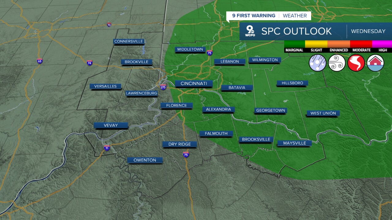
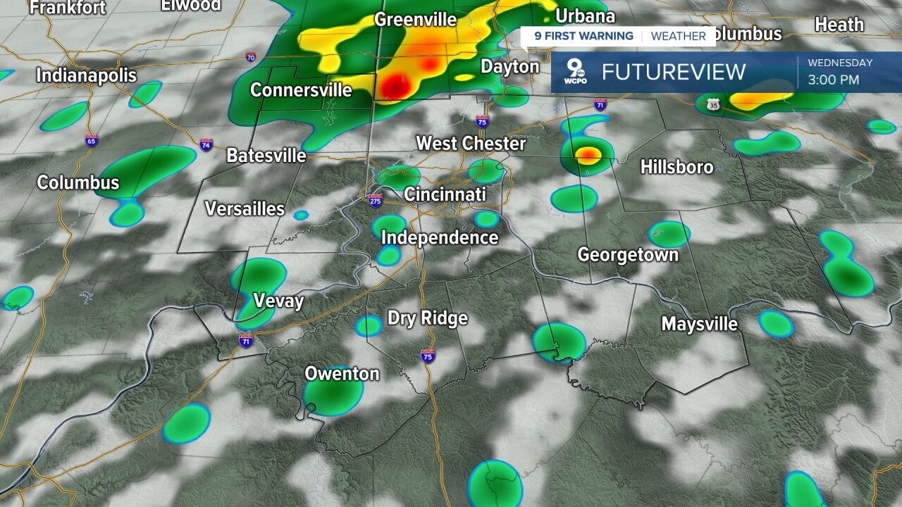
Overnight across the Tri-State, I’m expecting increasing clouds as rain chances ramp up, with showers and a few storms developing toward daybreak and morning lows settling into the low 60s. As a stationary front drops into the region, rain and storm chances increase through the day, and based on the Storm Prediction Center, there is a Marginal risk for severe weather. Highs will be warm in the mid to upper 70s.
By Thursday, there’s still a chance for rain, but a good portion of the area should stay dry at times, with activity remaining more scattered in nature and with periodic sunshine, highs reach near 80 degrees. The scattered rain continues into Friday as the pattern stays somewhat unsettled and the afternoon highs stay warm.
Heading into the weekend, a cold front moves in. I'm expecting it to trigger more widespread rain and storms beginning early and continuing into the nighttime hours, with lingering showers possibly carrying over into Easter morning. While mild temps in the 70s are likely for Saturday, highs fall to the upper 50s to near 60 degrees on Sunday. You might want to push the egg hunt back a bit to be safe.
OVERNIGHT
Mostly Cloudy
Chance storms
Low: 62
WEDNESDAY
Rain and Storms
High: 75
WEDNESDAY NIGHT
Scattered showers
ending
Low: 60
9 First Warning Weather 24/7 Livestream
==========
- Interactive Radar: Track weather to your doorstep
- Sign up for severe weather email alerts
- Check latest school closings and delays
- WCPO traffic updates
- Metro bus detours and updates (or call the hotline at 513-632-7538)
- Latest power outages from Duke Energy
- Flight cancellations and delays from CVG, other U.S. airports
