

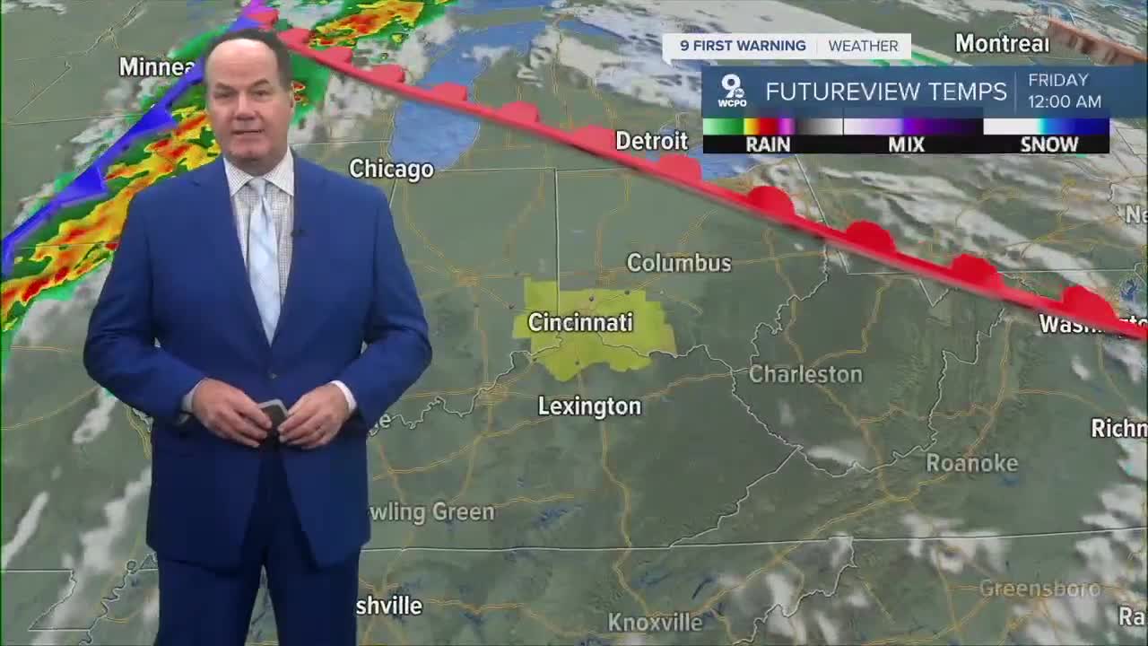


Tonight looks quiet and mild around here with lows near 60 degrees, although we’ll see increasing clouds into daybreak so we start with morning sunshine.

Then, the next change arrives later in the day on Friday. While it’s a warm and partly sunny start, there is a 30% chance of showers and thunderstorms by noon. Scattered showers and a chance for storms will likely develop ahead of a cold front moving through Friday evening. Rain and storms will start around noon in SE Indiana and stretch across Greater Cincinnati about 3pm.

At that point, this looks like the wettest part of this forecast as some storms could become strong or severe, with damaging winds as the primary concern. This has triggered a “Marginal Risk” for severe weather, which is a category one out of five. The line will be followed an more scattered rain and storms through late night.

By Saturday, clouds will linger in the morning with a 30% chance of showers before daybreak. The sky becomes mostly sunny with highs in the low to mid 70s. At night, mostly clear conditions persist with lows dropping to near 50 degrees. Sunday looks pleasant with mostly sunny skies and highs still in the 70s.
Next week, a stronger cold front creates early week wet weather and much cooler weather follows.
TONIGHT
Mostly clear
Pleasant
Low: 58
TOMORROW
Mostly sunny start
Rain and storms develop
Marginal Risk -Severe Weather
High: 80
TOMORROW NIGHT
Scattered rain
Chance storms
Low: 59
9 First Warning Weather 24/7 Livestream
==========
- Interactive Radar: Track weather to your doorstep
- Sign up for severe weather email alerts
- Check latest school closings and delays
- WCPO traffic updates
- Metro bus detours and updates (or call the hotline at 513-632-7538)
- Latest power outages from Duke Energy
- Flight cancellations and delays from CVG, other U.S. airports
