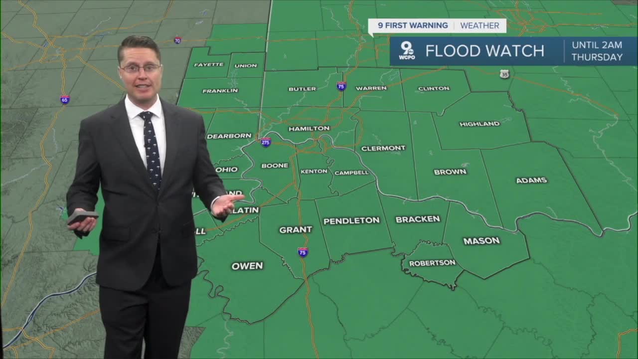


A Flood Watch is in effect Wednesday and ends at 2 a.m. Thursday for the entire Tri-State. Rain will continue to fall onto saturated ground, quickly running off into streams, creeks, and rivers. Heavier pockets of rain could also cause some brief flash flooding. Keep kids away from any high water! If you come across a flooded road while driving, Turn Around, Don't Drown.

Most of us will be dry overnight and into Wednesday morning as we cool off into the mid 60s.
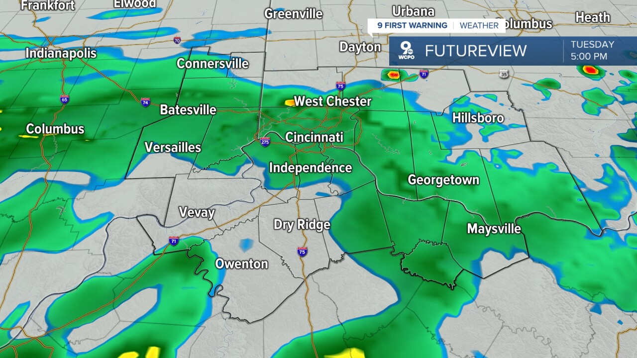
A cold front will push in from the north in the afternoon, bringing another round of scattered showers and storms. Severe weather is not expected, but with another 0.5 to 1"+ of rain in most cities, flooding will be a concern. When dry, it will be mostly cloudy with mid 70s.
The cold front drops to our south late Wednesday night, putting an end to the rain. Then, we get to enjoy a nice stretch of dry weather.
Thursday will be partly cloudy with a high near 80.
We cool off into the mid 70s Friday with a mix of sunshine and clouds.
The weekend looks great! Both afternoons will be in the mid 70s with a lot of sunshine.
The sunshine and 70s will continue early next week.
OVERNIGHT
Spotty showers
Cloudy
Low: 65
WEDNESDAY
Mostly cloudy
Scattered rain / storms
High: 76
WEDNESDAY NIGHT
Drying out
Partly cloudy
Low: 61
THURSDAY
Partly cloudy
Warm
High: 80
9 First Warning Weather 24/7 Livestream
==========
- Interactive Radar: Track weather to your doorstep
- Sign up for severe weather email alerts
- Check latest school closings and delays
- WCPO traffic updates
- Metro bus detours and updates (or call the hotline at 513-632-7538)
- Latest power outages from Duke Energy
- Flight cancellations and delays from CVG, other U.S. airports
