


We got some much needed rain this evening in our NKY counties. All of it stayed south of the 275 loop. As we move into the overnight hours we dry out and see clear skies.
Tomorrow will be another warm day. Temperatures start at 60 and warm to 80. There's again a small chance of rain in the peak heat of the day, but the better chance for rain is expected on Wednesday night.

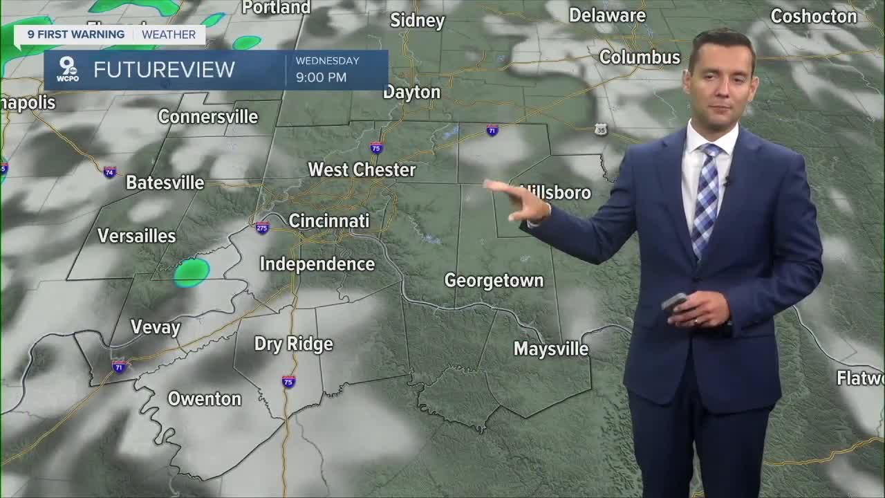
Our first of two cold fronts will pass on Wednesday night into Thursday morning. This should be a line of showers passing overnight with a few rumbles of thunder. It's not a huge soaking system, but .25" or more of rain is possible.
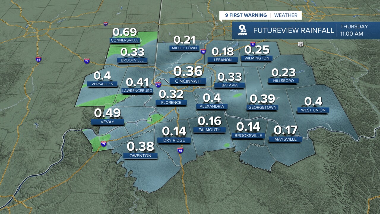
Showers should end well before noon on Thursday. Temperatures will be cooler around 70 degrees.
The second cold front of the week comes Friday night into Saturday morning. Again, it's an overnight system bringing in a quick line of showers and isolated storms. It also ushers in cooler air for the coming weekend.
TONIGHT
Few clouds
Mild
Low: 60
WEDNESDAY
Mostly sunny
Isolated showers
High: 80
WEDNESDAY NIGHT
Rain likely
A few storms
Low: 59
9 First Warning Weather 24/7 Livestream
==========
- Interactive Radar: Track weather to your doorstep
- Sign up for severe weather email alerts
- Check latest school closings and delays
- WCPO traffic updates
- Metro bus detours and updates (or call the hotline at 513-632-7538)
- Latest power outages from Duke Energy
- Flight cancellations and delays from CVG, other U.S. airports
