


A Winter Weather Advisory is in effect for portions of the tri-state.
We have also issued a 9 FIRST WARNING WEATHER ALERT DAY.

Here’s the timeline:
Early Saturday:
Snow showers are possible by daybreak, especially in southeast Indiana and northwest Ohio. Some light accumulation is likely through the morning hours.

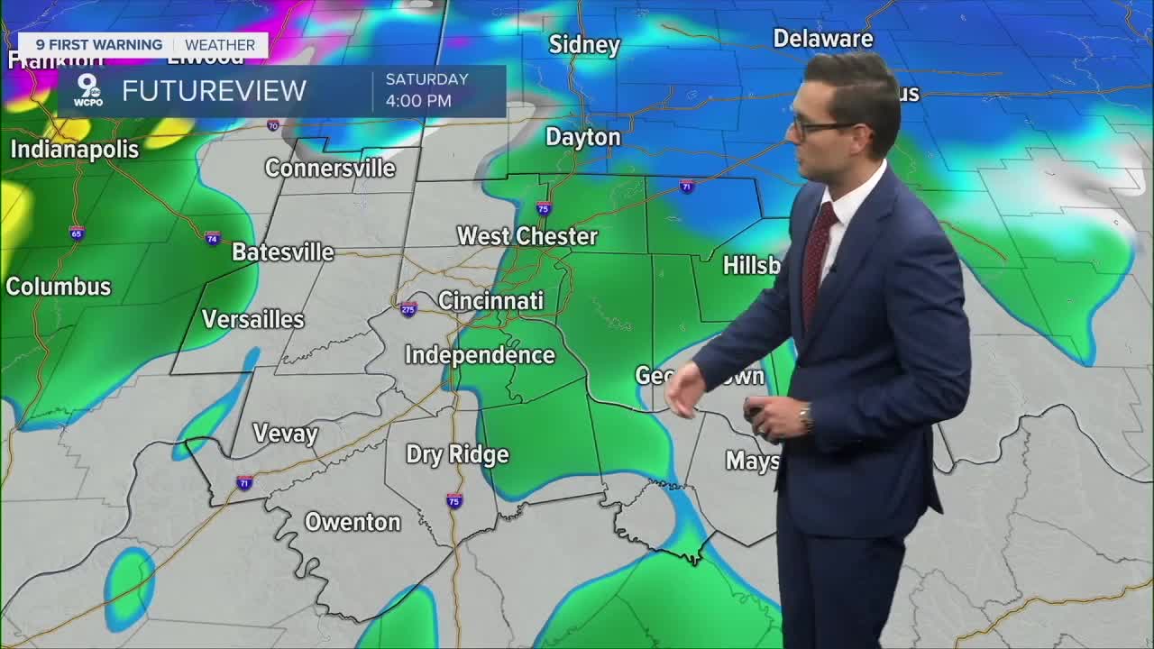
Midday to afternoon:
Temperatures will decide who sees what. Northern counties have a better chance of staying snowy longer, while the southern half of the region may flip to a wintry mix or plain rain. Another flip back to a wintry mix is possible toward sunset.

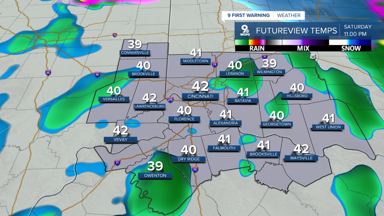
Saturday night into Sunday:
Models have been back-and-forth, but the overall message is the same: some accumulating snow is looking more and more likely. Some areas across southeast Indiana can expect anything from a light coating to 3 inches.

Sunday:
Rain may linger, and temperatures stay above freezing to start the day. Once the cold front moves through, temps fall through the afternoon… setting us up for a very chilly end to the weekend.
Cold air sticks around as we kick off meteorological winter on Monday. Another chance for snow moves in Monday night into Tuesday, and highs stay locked in the mid-30s through much of next week.
TONIGHT
Increasing clouds
Freezing
Low: 20
SATURDAY
Winter Weather Advisory
Cold rain and snow up north
Highs: 38
SATURDAY NIGHT
Rain/snow mix
Breezy
Low: 32
9 First Warning Weather 24/7 Livestream
==========
- Interactive Radar: Track weather to your doorstep
- Sign up for severe weather email alerts
- Check latest school closings and delays
- WCPO traffic updates
- Metro bus detours and updates (or call the hotline at 513-632-7538)
- Latest power outages from Duke Energy
- Flight cancellations and delays from CVG, other U.S. airports
