


It's a quiet and mostly clear night around here as temps fall to the upper 20s and low 30s by daybreak.
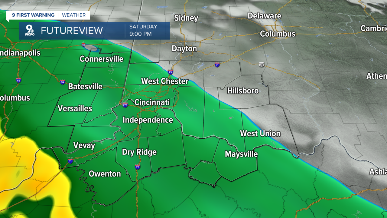
Saturday continues the trend of relatively dry weather with a mix of sun and clouds and afternoon highs climbing into the mid-50s. It will be a good day to get outside, just don’t unpack the umbrellas yet.
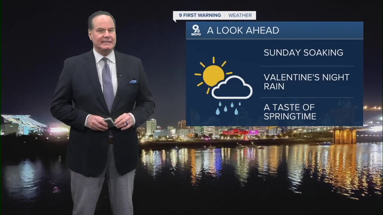
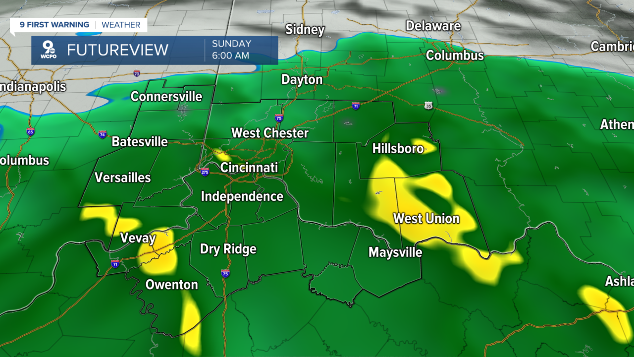
Saturday night, clouds will thicken as a weather system approaches from the southwest. Rain will develop later after 10 pm for most and continue into Sunday morning, turning what was a quiet stretch into a wet start to the day.
Sunday’s rain will be more persistent and at times heavier, especially in the morning hours, as the main band of moisture moves through the Tri-State. Roads are likely to be wet, and puddles will quickly form where drainage is slow, so give yourself a little extra time for morning errands or travel through the heaviest bands.
Temperatures on Sunday will stay mild for February, with highs near the low 50s, which will help keep the rain in the liquid form rather than freezing. After the bulk of the morning rain passes, scattered showers will linger into the afternoon before tapering off Sunday night. We'll see .50"-1" of rain by the time we are done.
Warm air will be the story next week! Highs will be in the 50s and at times, reaching to mid 60s during the week.
TONIGHT
Mostly clear
Clouds overnight
Low: 28
SATURDAY
Some sun, mostly cloudy
High: 53
SATURDAY NIGHT
Mostly Cloudy
Rain chance after 9-10 pm
Low: 40
SUNDAY
Rain through midday
High: 50
9 First Warning Weather 24/7 Livestream
==========
- Interactive Radar: Track weather to your doorstep
- Sign up for severe weather email alerts
- Check latest school closings and delays
- WCPO traffic updates
- Metro bus detours and updates (or call the hotline at 513-632-7538)
- Latest power outages from Duke Energy
- Flight cancellations and delays from CVG, other U.S. airports
