


A weak cold front passing through the area will keep a few clouds around. However, the skies will clear by daybreak, and we'll wake up to sunshine and cool temps in the low to mid 40s.
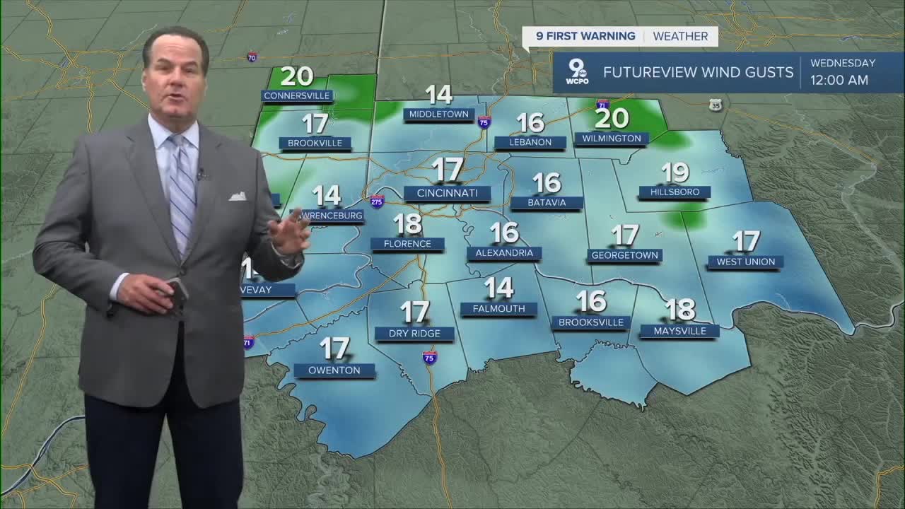
Also, the winds that gusted over 30 mph have diminished. But the winds will restart again on Wednesday. High temperatures only reach the mid to upper 50s, and with the winds gusty again, it'll feel pretty chilly!
In fact, temperatures will stay on the chilly side for a few days. Thursday morning starts at 39 and warms to 58 degrees. And then Thursday night into Friday morning, frost will be likely as lows dip to the low 30s!
This weekend now looks mainly dry with only a slight chance for any wet weather. I'm a little concerned the models are not handling the situation well. So, check back here for updates.
OVERNIGHT
Clearing
Low: 44
WEDNESDAY
Few clouds early
Partly to mostly sunny
High: 57
WEDNESDAY NIGHT
Few clouds
Chilly
Low: 39
9 First Warning Weather 24/7 Livestream
==========
- Interactive Radar: Track weather to your doorstep
- Sign up for severe weather email alerts
- Check latest school closings and delays
- WCPO traffic updates
- Metro bus detours and updates (or call the hotline at 513-632-7538)
- Latest power outages from Duke Energy
- Flight cancellations and delays from CVG, other U.S. airports
