

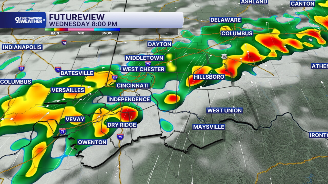


Overnight stays unsettled across the Tri-State, with showers and thunderstorms continuing through the morning. Temperatures settle into the low 70s with a light west wind. The atmosphere remains moist, and while storm activity may ease for a time overnight, another surge of moisture arrives Thursday, bringing a renewed round of showers and thunderstorms.
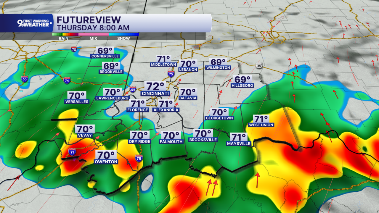
Thursday will be noticeably cooler, with highs only in the upper 70s to the low 80s thanks to thicker clouds, rain, and cooler air moving into the region. Periods of heavier rain are possible, especially across southern parts of the Tri-State, where repeated thunderstorms could produce localized flooding concerns. Showers remain likely Thursday evening before gradually becoming less widespread overnight, with lows in the mid 60s.
Friday stays mostly cloudy and relatively cool, with highs around 80. A few showers may linger for the morning hours before things clear out.
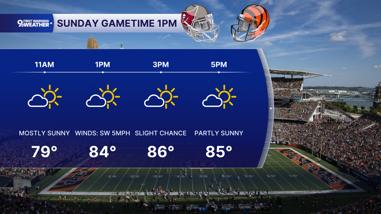
Saturday turns a little warmer, with highs in the mid 80s, but scattered showers and thunderstorms remain possible, especially from late morning into the afternoon. Any storms should become less widespread Saturday evening. By Sunday, the pattern begins to improve, with mostly sunny skies and highs reaching the mid 80s.
TONIGHT
Showers likely
A few storms
Low: 72
THURSDAY
Showers and storms
Not as hot
High: 82
THURSDAY NIGHT
Mostly cloudy
Cooler
Low: 64
9 First Warning Weather 24/7 Livestream
==========
- Interactive Radar: Track weather to your doorstep
- Sign up for severe weather email alerts
- Check latest school closings and delays
- WCPO traffic updates
- Metro bus detours and updates (or call the hotline at 513-632-7538)
- Latest power outages from Duke Energy
- Flight cancellations and delays from CVG, other U.S. airports
