


Starting in the morning, conditions trend milder with increasing clouds and lows in the low 60s, as warm air pushes back into the Tri-State again. By Thursday afternoon, that warm air increases pushing highs near 80.
While there’s a chance for a couple of scattered showers and/or storms, most will likely stay dry and simply feel the summer-like heat and humidity in the forecast.

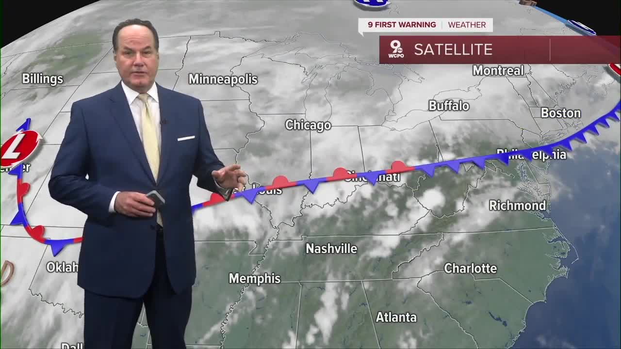
Into Friday, highs ease back into the mid 70s with continued chances for scattered rain as a stationary front lingers.
Saturday continues that unsettled pattern, but this time because of a cold front that will roll through the area around the noon hour, triggering rain and storms for the afternoon and evening.
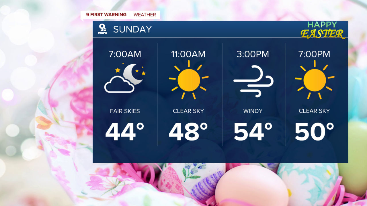
By Easter Sunday, a cold front moves east of us, bringing cooler air with highs dropping into the upper 50s and lingering showers possible in the morning. But, indicators point to clearing just after daybreak.
OVERNIGHT
Rain ending
Mild
Low: 60
THURSDAY
Partly cloudy
Isolated showers
High: 82
THURSDAY NIGHT
Storm chance
Mostly cloudy
Low: 64
9 First Warning Weather 24/7 Livestream
==========
- Interactive Radar: Track weather to your doorstep
- Sign up for severe weather email alerts
- Check latest school closings and delays
- WCPO traffic updates
- Metro bus detours and updates (or call the hotline at 513-632-7538)
- Latest power outages from Duke Energy
- Flight cancellations and delays from CVG, other U.S. airports
