

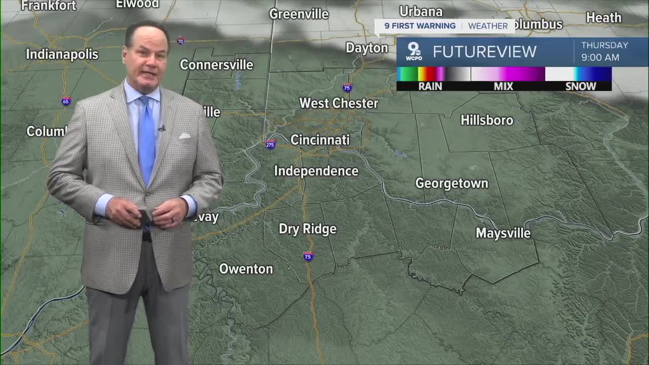


The weather has settled down with mostly clear skies and lows in the mid 50s at daybreak.

Thursday looks like the quietest, warmest day in this stretch, with sunshine and highs in the low 80s, and the above-normal temperatures continue through the week. By Thursday night, it stays mostly clear with lows near 60.

Friday starts mostly sunny and warm again, with highs again near 80 degrees, but we will see a 50 percent chance of showers and thunderstorms by mid-afternoon. Friday night looks wet, with a likelihood of showers and thunderstorms through the evening. I’m not expecting any severe weather as the system rolls through.

A fairly strong front moving through the region will help keep wet weather around into very early Saturday morning. For the weekend, Saturday still has a small chance of showers, mainly before 8 AM, with skies then turning partly sunny and highs in the mid 70s. Then, Sunday looks nice with mostly sunny skies and highs again in the mid-70s.
OVERNIGHT
Mostly clear
Low: 56
THURSDAY
Mostly sunny
Warm
High: 81
THURSDAY NIGHT
Increasing clouds
Low: 59
9 First Warning Weather 24/7 Livestream
==========
- Interactive Radar: Track weather to your doorstep
- Sign up for severe weather email alerts
- Check latest school closings and delays
- WCPO traffic updates
- Metro bus detours and updates (or call the hotline at 513-632-7538)
- Latest power outages from Duke Energy
- Flight cancellations and delays from CVG, other U.S. airports
