


After a wet Saturday, we stay mostly cloudy overnight as we cool off into the mid 40s for Sunday morning.
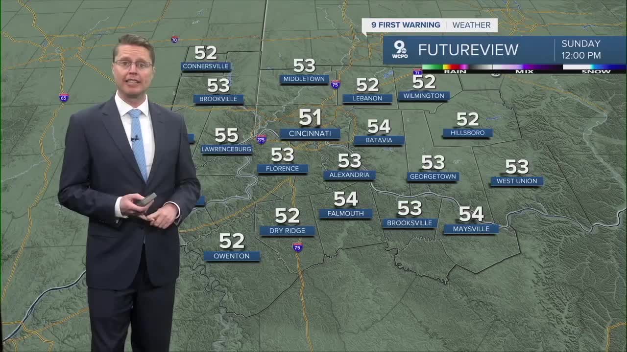
Sunday starts with some leftover clouds, but the sunshine quickly takes over the second half of the day. Temperatures stay above average, pushing into the low 60s.

Monday will be mostly sunny and warmer with highs in the low 70s!
Scattered, mainly light, rain returns Tuesday with mostly cloudy skies, but we stay warm. The afternoon will be in the mid 70s.
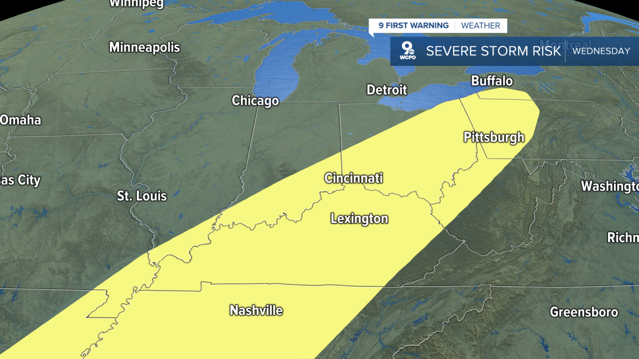
We should make it to about 70 Wednesday before our next cold front arrives later in the day. This will bring another round of showers and storms with at least a small threat for a couple severe storms. The last of the rain could change into a few pockets of snow into early Thursday morning, but no accumulation is expected.
We drop about 20 degrees for Thursday, with a high near 50. It will be dry in the afternoon with a little more sunshine.
We bounce back to 60 Friday with a mix of sun and clouds.
OVERNIGHT
Mostly cloudy
Isolated rain
Low: 45
SUNDAY
A.M. Clouds
P.M. Sun
High: 63
SUNDAY NIGHT
Mostly clear
Cool
Low: 45
MONDAY
Mostly sunny
Warmer
High: 72
9 First Warning Weather 24/7 Livestream
==========
- Interactive Radar: Track weather to your doorstep
- Sign up for severe weather email alerts
- Check latest school closings and delays
- WCPO traffic updates
- Metro bus detours and updates (or call the hotline at 513-632-7538)
- Latest power outages from Duke Energy
- Flight cancellations and delays from CVG, other U.S. airports
