


The last of the rain has finally pushed south of the Tri-State, and the Flood Watch has been canceled! This isn't just an end to the rain for the night, but an end to the rain for the week!
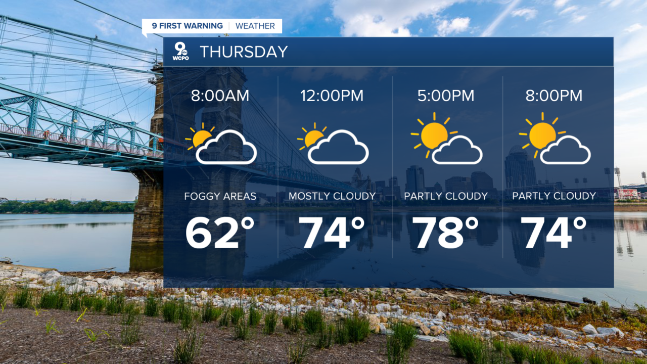
The sky begins to clear overnight, but foggy areas could form into Thursday morning. Temperatures will drop into the low 60s.
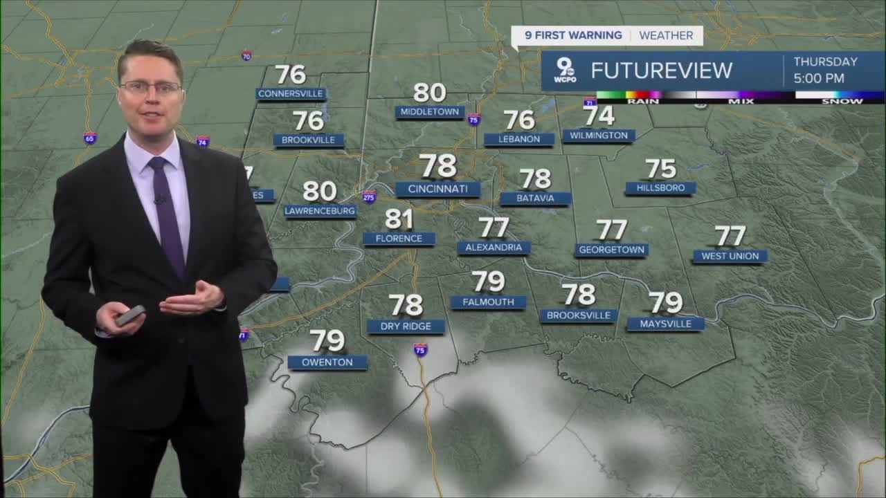
Thursday afternoon brings a mix of sunshine and clouds with highs in the upper 70s.
Then, we get to enjoy a great stretch of weather through the weekend! Friday, Saturday, and Sunday will all be mostly sunny with mid 70s each afternoon.
The great weather continues early next week, just with a few more clouds at times. Highs will continue in the mid 70s for the first half of the workweek.
Late in the workweek, there's a small chance for rain, but it's far from a guarantee.
OVERNIGHT
Clearing skies
Foggy areas
Low: 61
THURSDAY
Partly cloudy
Warm
High: 78
THURSDAY NIGHT
Mostly clear
Cooler
Low: 54
FRIDAY
Mostly sunny
Nice
High: 76
9 First Warning Weather 24/7 Livestream
==========
- Interactive Radar: Track weather to your doorstep
- Sign up for severe weather email alerts
- Check latest school closings and delays
- WCPO traffic updates
- Metro bus detours and updates (or call the hotline at 513-632-7538)
- Latest power outages from Duke Energy
- Flight cancellations and delays from CVG, other U.S. airports
