

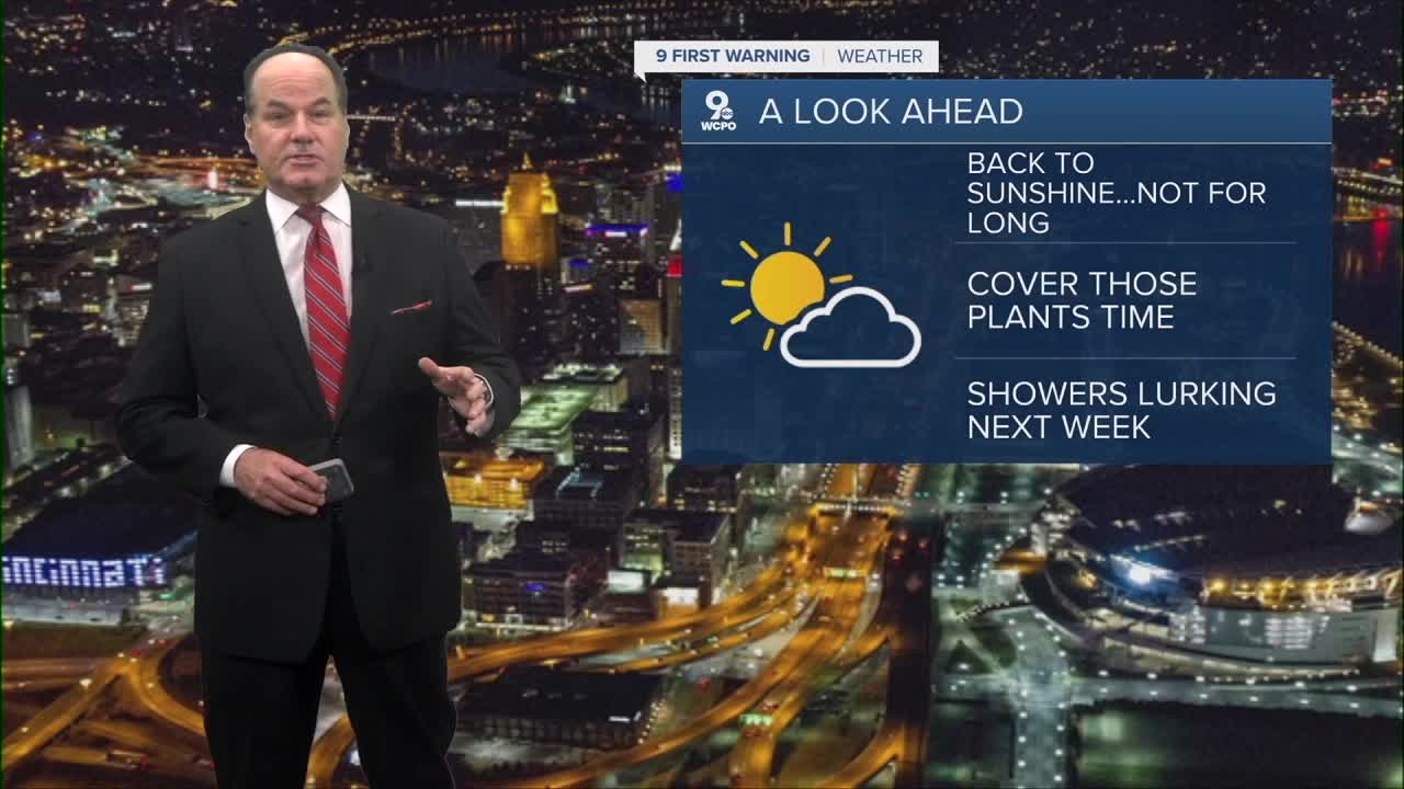


While the skies are partly cloudy now, we'll be mostly clear by daybreak with lows in the low 40s and northwest winds of 5 to 8 mph.
Thursday is honestly the best day of the stretch with sunny skies and highs in the low to mid 60s. Now, there’s another area of low pressure which will produce rain and storms and the main driver of what happens next.
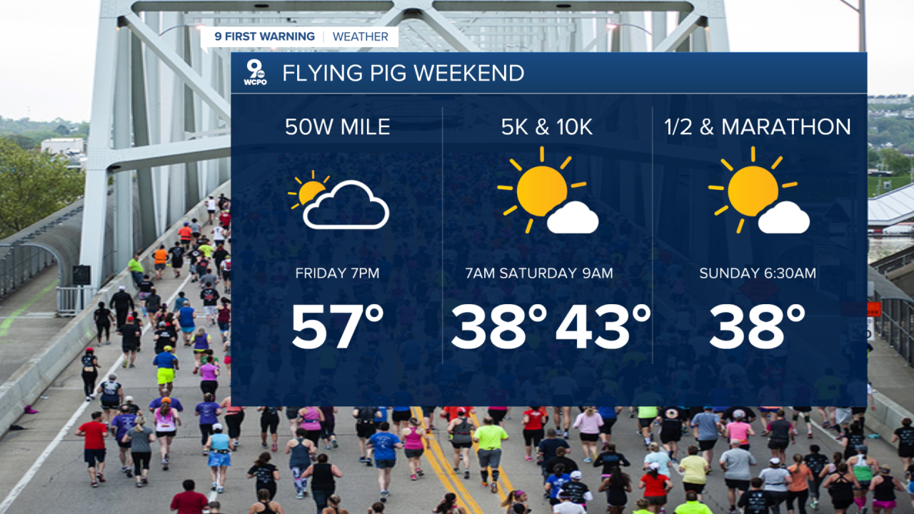
Friday stays partly sunny and cool, but with a chance for a couple of showers as a weak system swings through the Tri-State. Highs will only be near 60 degrees, a good ten degrees below average.
Runners are going to like this forecast for the Flying Pig.
When this system clears out at night, Saturday comes in mostly sunny but only with highs in the upper 50s and here's the part you want to pay attention to…Saturday morning is the most likely day for frost potential, so if you've got plants outside, bring them in. Sunday morning could also see additional frost concerns.

Also, this cool pattern is likely to continue, as the Climate Prediction Center shows the long-range chill may persist for the next two weeks, so don't put the jacket away just yet.
OVERNIGHT
Becoming mostly clear
Low: 42
THURSDAY
Partly cloudy
Below average temps
High: 62
THURSDAY NIGHT
Fair skies
Cool again
Low: 43
9 First Warning Weather 24/7 Livestream
==========
- Interactive Radar: Track weather to your doorstep
- Sign up for severe weather email alerts
- Check latest school closings and delays
- WCPO traffic updates
- Metro bus detours and updates (or call the hotline at 513-632-7538)
- Latest power outages from Duke Energy
- Flight cancellations and delays from CVG, other U.S. airports
