

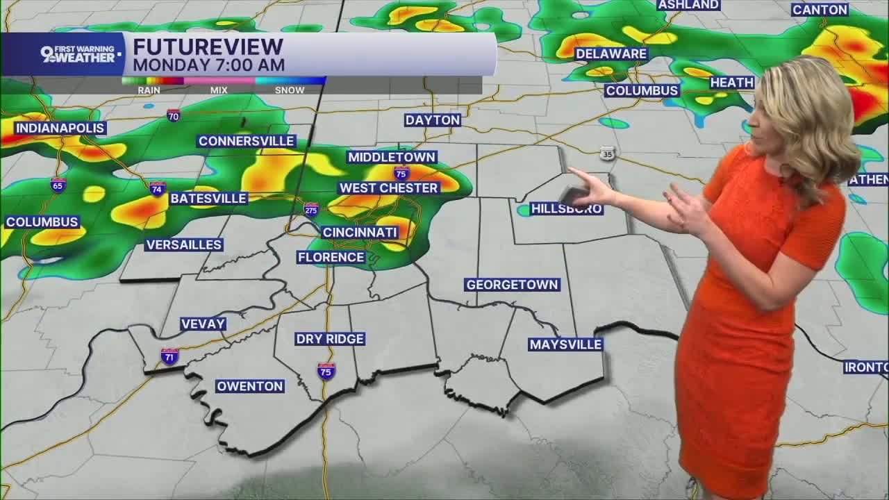


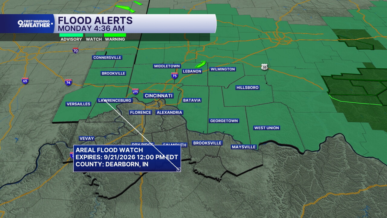
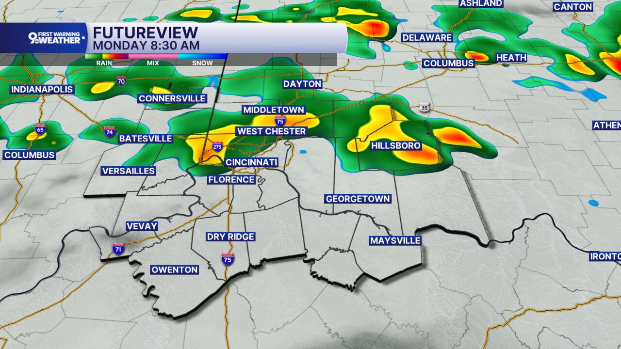
Showers and storms will move through the Tri-State as we start the day. A flood watch is also in effect until noon for all counties north of the Ohio River.
The most likely time for showers and storms is before 9 a.m. This means rain could impact your drive into work or as the kids head out for school today. After 10 a.m., there's only an isolated rain chance for the remainder of the day. The sky will be mostly cloudy today and the temperature will be noticeably cooler. Highs on Sunday topped out at 93 degrees. Today our high will only reach 76 degrees.
The sky stays mostly cloudy tonight with a northeast wind at 10 mph. We'll cool to 59 degrees.
Tuesday's forecast will be mostly cloudy as well and again, cooler. With a northeast wind again at 5 to 10 mph, we'll only top out at 71 degrees tomorrow. It's the first official day of Fall and it comes with highs around 6 degrees below normal.
The sky stays mostly cloudy again on Wednesday and that will keep the forecast cool and pleasant again. We'll only warm to 69 degrees on Wednesday.
MORNING RUSH
Scattered showers and storms
Mostly cloudy
Low: 68
MONDAY
Scattered showers and storms until midday
Slight afternoon rain chance
High: 76
MONDAY NIGHT
Mostly cloudy
Cooler
Low: 59
TUESDAY
Mostly cloudy
Cool and dry
High: 71
TUESDAY NIGHT
Mostly cloudy
Pleasant
Low: 58
9 First Warning Weather 24/7 Livestream
==========
- Interactive Radar: Track weather to your doorstep
- Sign up for severe weather email alerts
- Check latest school closings and delays
- WCPO traffic updates
- Metro bus detours and updates (or call the hotline at 513-632-7538)
- Latest power outages from Duke Energy
- Flight cancellations and delays from CVG, other U.S. airports
