


We’re heading into a pretty active stretch of weather across the area, so keep the umbrella close by through the holiday weekend.
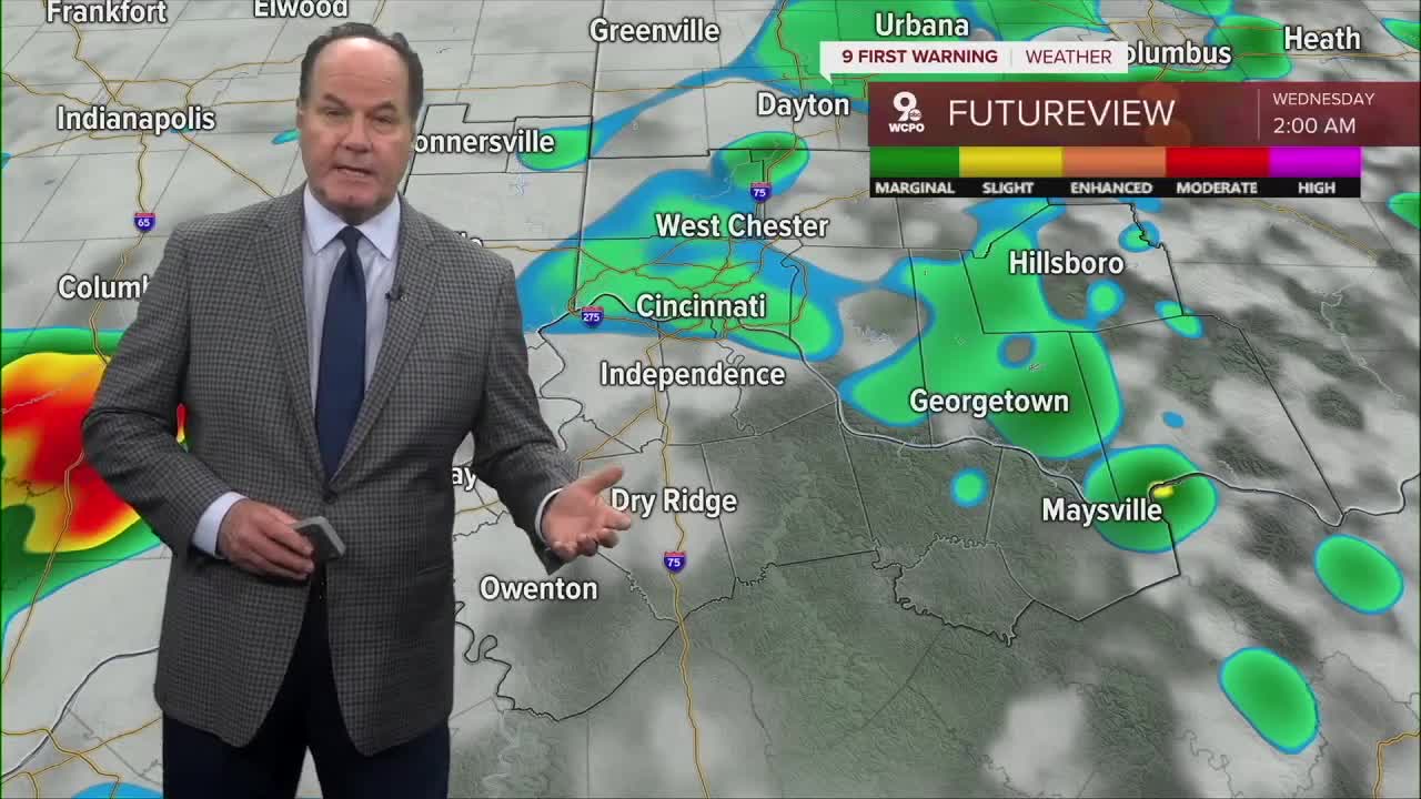
Overnight, we will still see scattered showers and perhaps a few downpours. However, the severe threat appears to be over heading into daybreak. Morning lows will be warm in the low 60s.
At the moment, a SEVERE THUNDERSTORM WATCH is out until 10 pm for a portion of the Tri-State highlighted in the map below:

Wednesday looks wet with periods of showers and even a few thunderstorms possible during the day. Afternoon temperatures will stay around the low 70s before cooler air settles in Wednesday night with lingering showers and lows dropping into the low 50s. Thursday brings a bit of a break with partly sunny skies and seasonably cool conditions returning for the afternoon, although another chance for showers develops late Thursday night.

By Friday, the atmosphere becomes much more unsettled again with widespread showers and thunderstorms expected through the day and into Friday night. Some heavier rainfall will be possible at times as temperatures climb into the mid 70s.

Here’s the really bad news. The unsettled pattern sticks around through the weekend with scattered showers and thunderstorms continuing Saturday and Sunday. Highs both days will warm into the upper 70s to low 80s with muggy conditions gradually returning. If you’ve got outdoor graduation parties, cookouts, or sports plans, just be prepared for occasional rain interruptions. Heading into Memorial Day itself, the forecast stays pretty similar with more showers and thunderstorms likely under mostly cloudy skies and temperatures reaching the low 80s.
TONIGHT
Strong to severe storms
Leftover a.m. rain
Low: 65
WEDNESDAY
Mostly cloudy
Isolated rain
High: 73
WEDNESDAY NIGHT
Mostly cloudy
Cooler
Low: 53
9 First Warning Weather 24/7 Livestream
==========
- Interactive Radar: Track weather to your doorstep
- Sign up for severe weather email alerts
- Check latest school closings and delays
- WCPO traffic updates
- Metro bus detours and updates (or call the hotline at 513-632-7538)
- Latest power outages from Duke Energy
- Flight cancellations and delays from CVG, other U.S. airports
