


While snow has ended around the Tri-State, temperatures are the next concern as clear skies and arctic air will drop the morning lows in the low 20s. More importantly, the wind chills will make it feel like the teens and single digits during the morning rush.

While the snow has ended, most communities reported between 1.5"and 2.5" of snow. Cincinnati had a record snowfall of 2.1", besting the old record of .3" in 1948.

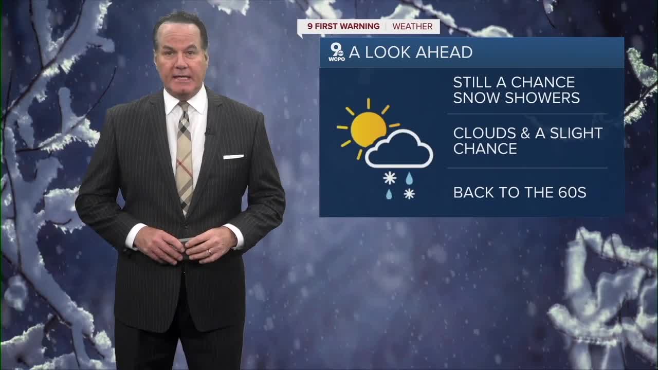
Clear skies won't last for too long on Tuesday. If you have Veteran Day activities know that it'll be winter old as highs will barely reach 40 degrees. With wind gusts to 25mph, it'll feel even colder. Another weak wave will move through the area on Tuesday. This could bring a brief wintry mix in the afternoon/evening hours.
Strong winds out of the southwest will rocket our highs back into the mid-50s by Wednesday and even the mid-60s by the weekend. A cold front may bring rain showers on Sunday morning.
OVERNIGHT
Mostly clear
Wind chills: teens
Low: 22
TUESDAY
Mostly cloudy
Light wintry mix chance
High: 41
TUESDAY NIGHT
Partly cloudy
Near steady temps
Low: 37
9 First Warning Weather 24/7 Livestream
==========
- Interactive Radar: Track weather to your doorstep
- Sign up for severe weather email alerts
- Check latest school closings and delays
- WCPO traffic updates
- Metro bus detours and updates (or call the hotline at 513-632-7538)
- Latest power outages from Duke Energy
- Flight cancellations and delays from CVG, other U.S. airports
