


Expect the cold to really sink its teeth into the Greater Cincinnati area over the next few days with a typical Tri-State arctic punch.
While we could see a few flurries, we'll stay mainly quiet. However, overnight lows will plummet to the single digits, setting the stage for a bone-chilling start on Saturday. In fact, we'll see threatening wind chills in some spots.

We do get some sunshine to start our weekend, but the air remains very cold. Highs will barely climb to 20 degrees, and wind chills make it feel like single digits again through the day. If you’re heading outside, think layers.
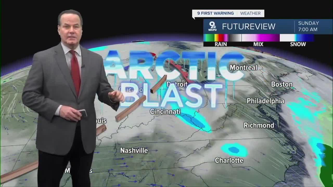
Sunday will bring more winter weather, with snow flurries, snow showers possible in the morning and clouds thickening up again. We could see a dusting in spots, and the cold persists with highs in the upper 20s and lows dropping into the teens overnight. R
Roads and sidewalks are likely to stay slick in spots from earlier snow and refreeze overnight, so travel Monday morning, something to keep in mind. By Next week, we will actually get off the Siberian Express and see more seasonally cold conditions.

OVERNIGHT
Few Flurries
Mostly cloudy
Low: 10
SATURDAY
Mostly sunny
Colder
High: 20
SATURDAY NIGHT
Much colder
Few clouds
Low: 9
SUNDAY
Mostly cloudy
Chilly
High: 28
9 First Warning Weather 24/7 Livestream
==========
- Interactive Radar: Track weather to your doorstep
- Sign up for severe weather email alerts
- Check latest school closings and delays
- WCPO traffic updates
- Metro bus detours and updates (or call the hotline at 513-632-7538)
- Latest power outages from Duke Energy
- Flight cancellations and delays from CVG, other U.S. airports
