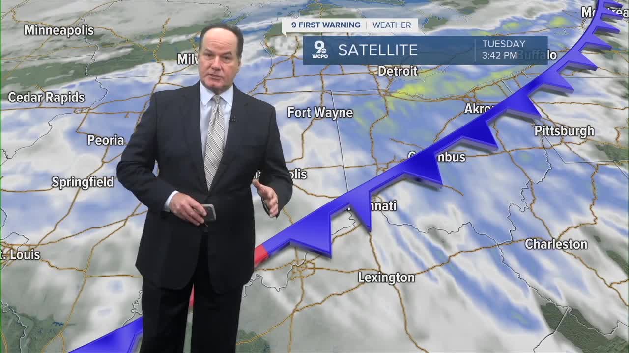


The rain will continue overnight, but the Wednesday morning commute should be dry with only a slight chance for a leftover, isolated shower. Rainfall totals have been impressive for such a short amount of time.

Cooler weather moves in behind the cold front and Wednesday will start in the upper 40s, and we will struggle to hit 60 in the afternoon with mostly cloudy skies. Thursday is even cooler with upper 50s and a lot of clouds.
Friday will be a little more comfortable with a little more warmth and a little more sunshine. Highs will be in the mid 60s. Most of the day will be dry, but as we head into Friday night, a few scattered showers will start to move into the Tri-State late. The best chance for rain will be overnight and ends Saturday morning. Saturday will be warmer, near 70, with most of the day dry.
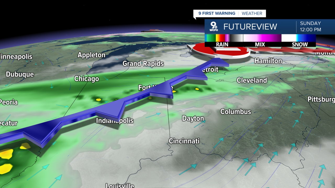
Unfortunately for Mother's Day, things are looking pretty wet at times on Sunday. It will also be a little warmer with mid-70s. We cool off into the 60s for the first half of next week.
OVER NIGHT
Widespread rain ends by daybreak
Low: 45
WEDNESDAY
Mostly cloudy
Cooler
High: 60
WEDNESDAY NIGHT
Partly cloudy
Cooler
Low: 41
9 First Warning Weather 24/7 Livestream
==========
- Interactive Radar: Track weather to your doorstep
- Sign up for severe weather email alerts
- Check latest school closings and delays
- WCPO traffic updates
- Metro bus detours and updates (or call the hotline at 513-632-7538)
- Latest power outages from Duke Energy
- Flight cancellations and delays from CVG, other U.S. airports
