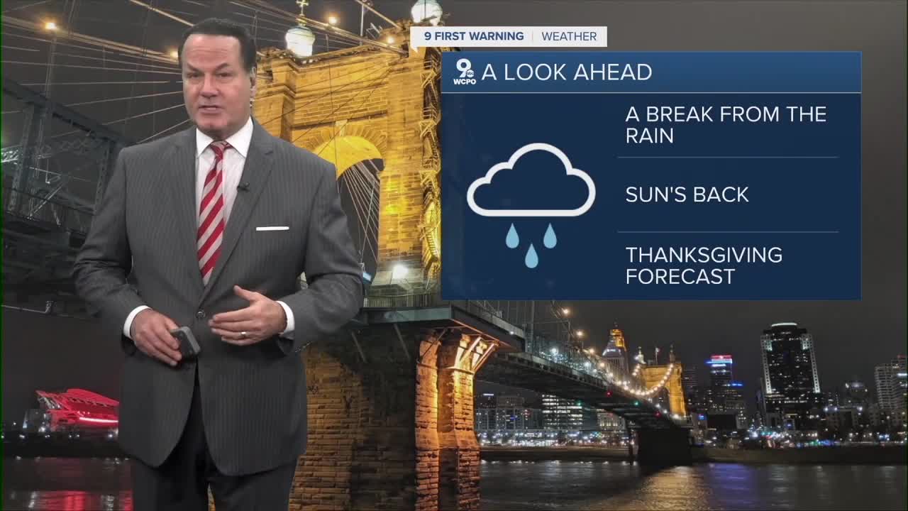


The rain will be isolated heading into he overnight. Temperatures will drop into the mid to upper 40s and stay steady into the morning. The wet weather will be light, as some patchy fog continues.
Saturday morning, the clouds will gradually clear by late morning, north of Cincinnati, and for everyone else in the afternoon. Temperatures top out in the mid-50s.
Sunday's forecast looks great! We'll warm to the upper 50s in the afternoon with plenty of sunshine. Wonderful for both the Bengals & FC Cincinnati.

Next week is a big week for Thanksgiving preparations and travel. It looks like rain will return on Tuesday. There's only a slight rain chance on Wednesday, the busiest travel day for Thanksgiving travel.
OVERNIGHT
Overcast sky
Rain ends by daybreak
Low: 42
SATURDAY
Partly cloudy
To mostly sunny
High: 54
SATURDAY NIGHT
Few clouds
Cooler
Low: 36
SUNDAY
Mostly sunny
Pleasant
High: 58
9 First Warning Weather 24/7 Livestream
==========
- Interactive Radar: Track weather to your doorstep
- Sign up for severe weather email alerts
- Check latest school closings and delays
- WCPO traffic updates
- Metro bus detours and updates (or call the hotline at 513-632-7538)
- Latest power outages from Duke Energy
- Flight cancellations and delays from CVG, other U.S. airports
