


Our Wednesday begins with mostly cloudy skies as the morning lows drop to near 70 degrees. Some patchy fog is possible out the door.
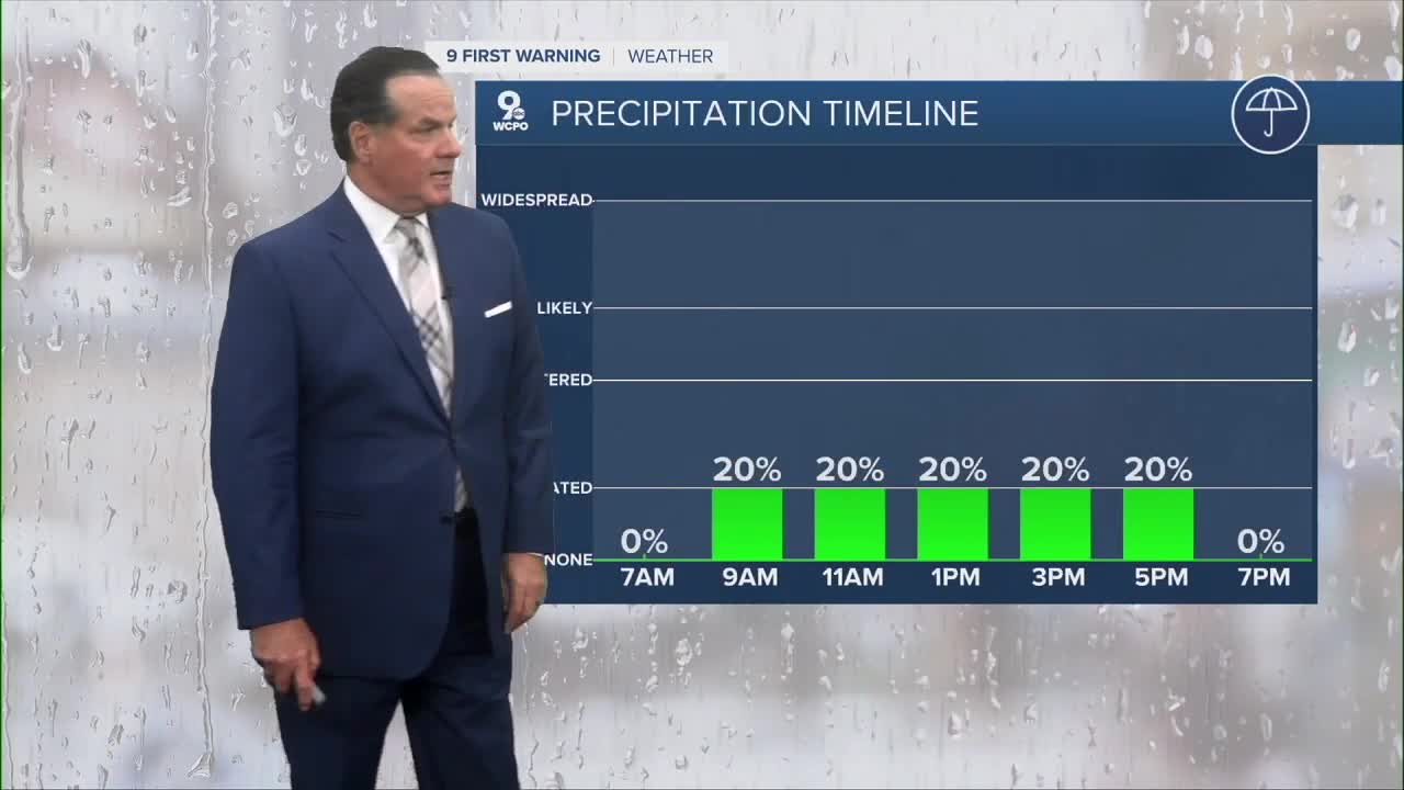
Through the day, the sunshine will compete with clouds, and we'll stay mainly dry with only a slight chance for an isolated shower to pop up. Highs will reach from the low to mid-80s. Same temps for Thursday with more sunshine.

By Friday, we'll watch for a potent cold front heading for the Tri-State. Saturday night through Sunday, there's a chance for a shower or two. However, there's something more important...much cooler than average air. Highs next week will be in the mid to upper 70s!

OVERNIGHT
Mostly cloudy
Patchy fog
Low: 70
WEDNESDAY
Mostly cloudy
Not as hot
High: 83
WEDNESDAY NIGHT
Partly cloudy
Still warm
Low: 67
9 First Warning Weather 24/7 Livestream
==========
- Interactive Radar: Track weather to your doorstep
- Sign up for severe weather email alerts
- Check latest school closings and delays
- WCPO traffic updates
- Metro bus detours and updates (or call the hotline at 513-632-7538)
- Latest power outages from Duke Energy
- Flight cancellations and delays from CVG, other U.S. airports
