

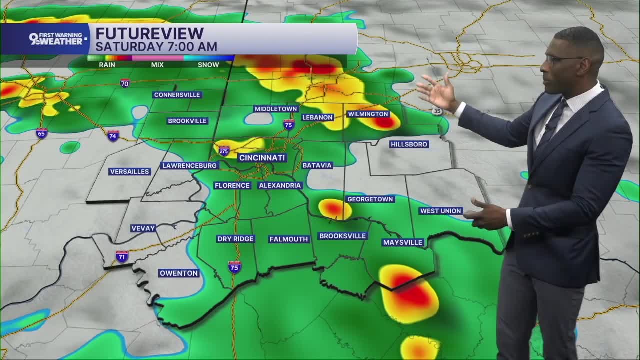


Low rain chances for this evening, but that will change overnight into early Saturday as rain chances go up.
Expect mainly dry conditions for the Reds game against the Cubs. First pitch is at 7:10 pm under partly cloudy skies with only an isolated shower possible nearby.
Tonight: Conditions will become much wetter through the overnight while you sleep. And temperatures will hover near 70 for most of us.
Tomorrow: Rain will take center stage to kick off the weekend. The wettest part of the day will come during the morning and early afternoon. Adding to the rain bucket, this round of showers could lead to some localized flooding. Be mindful of low-lying areas prone to flooding from heavy rain.
The rest of the weekend is trending drier with little rain chances on Sunday.
TONIGHT
Slight rain chances
Isolated storm
Low: 68
TOMORROW
Showers early
Warm
High: 82
SUNDAY
Drying out
Warm
High: 84
9 First Warning Weather 24/7 Livestream
==========
- Interactive Radar: Track weather to your doorstep
- Sign up for severe weather email alerts
- Check latest school closings and delays
- WCPO traffic updates
- Metro bus detours and updates (or call the hotline at 513-632-7538)
- Latest power outages from Duke Energy
- Flight cancellations and delays from CVG, other U.S. airports
